Leg 2
Blog 10
July 27
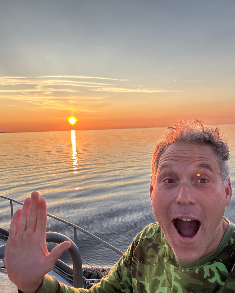

We left Nome the afternoon of July 24th along with the boat Pinocchio (Quebec family) knowing we would motor sail for about 12 hours until we reached the “Tri-City” area of Port Clarence, Teller and Brevig Mission. We have time on our hands because the ice up north is still behaving like, well, ice. As we are not an icebreaker, we will take our time as we head up north. Upper left is me at midnight (the Bering Sea looks like a lake!) and on the right is the moonrise at 0430.
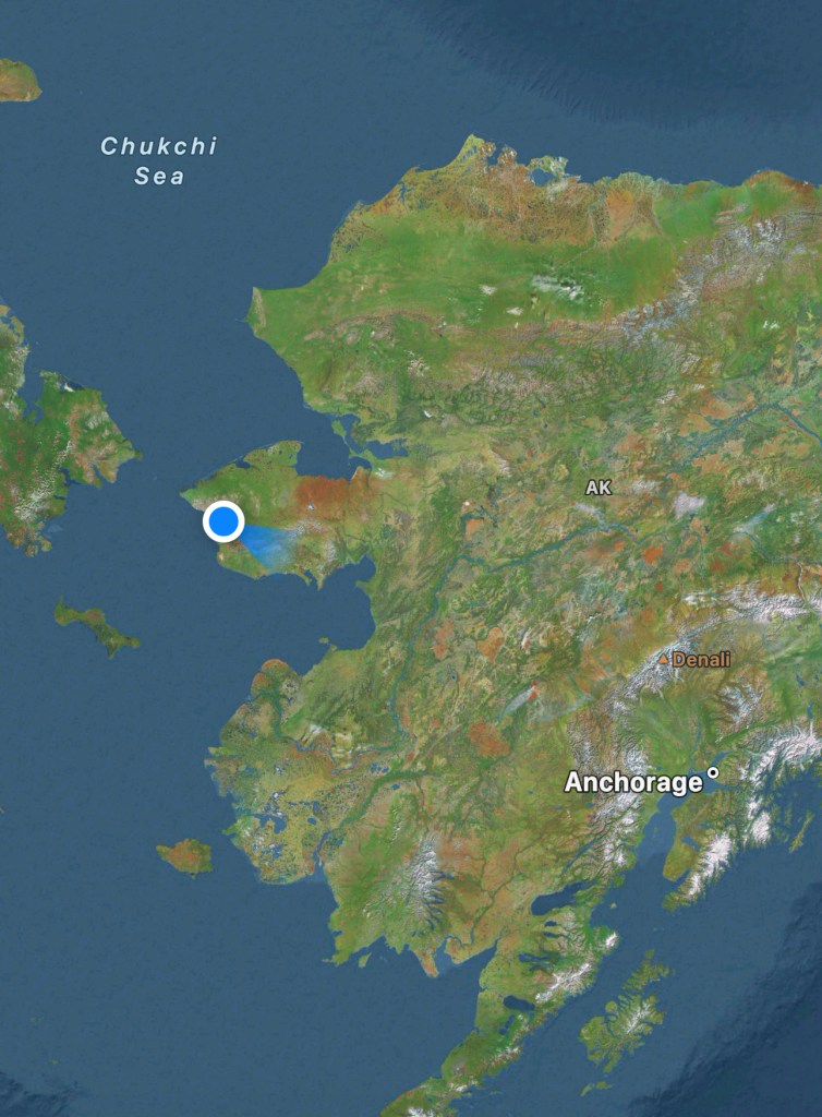
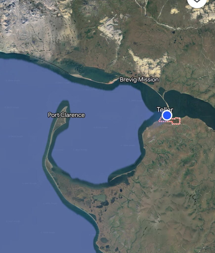
Here are a couple of Google shots of the area I am referencing. We are just south of the official demarcation of the Baring Land Bridge (picture to the upper right, but we are now inside the protective Grantley Harbor. https://www.nps.gov/bela/learn/historyculture/the-bering-land-bridge-theory.htm
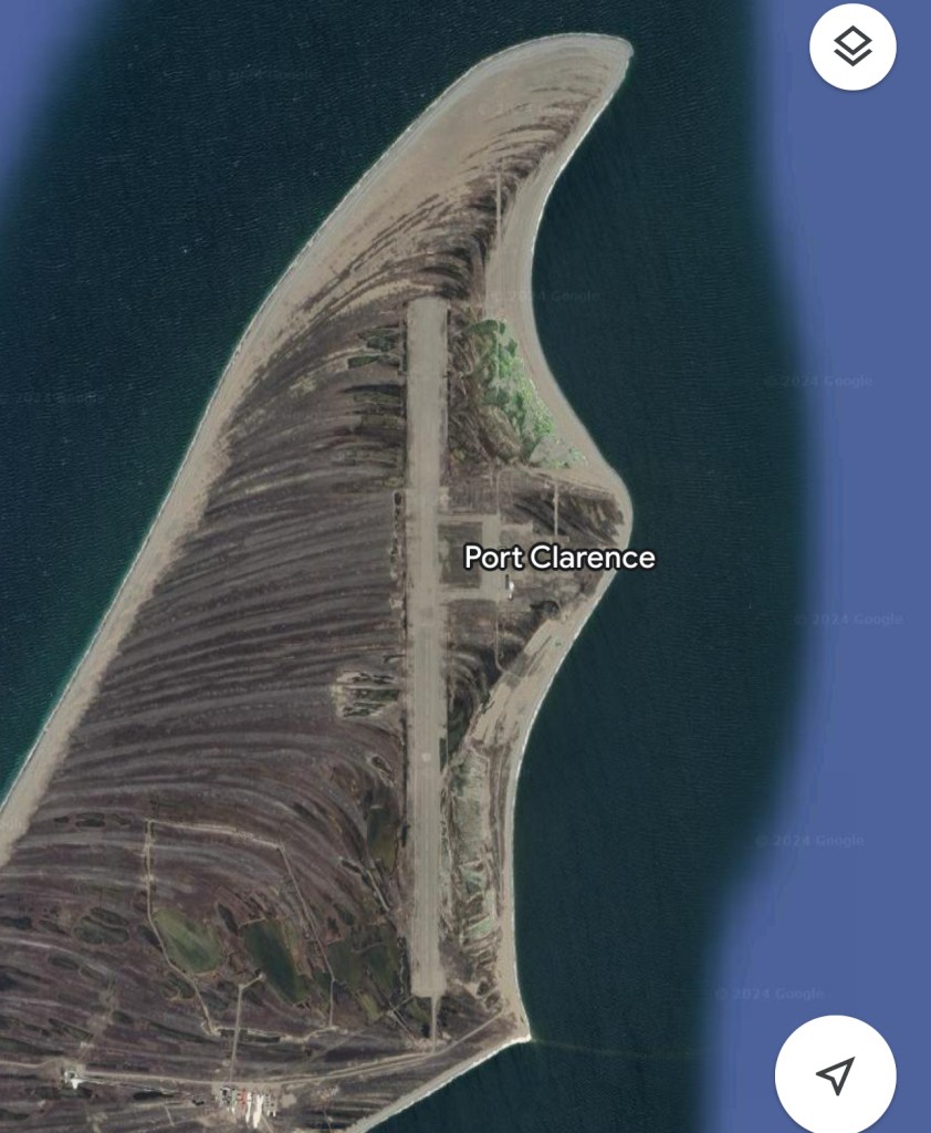
Port Clarance above is an abandoned Coast Guard Island/Station. From 1961 to 2010, the Coast Guard operated a LORAN-C station for aviation navigation. Thanks to GPS, it is no longer needed. Not sure why the Coast Guard had to carve an airport the size of the spit, but I am sure they had their reasons. There is a potential use of the facility in the future as Port Clarance is the only naturally occurring deep water port of refuge in the North American Arctic. This means deep draft ships (think tankers, ice breakers, container ships and hmmmm, maybe a destroyer, aircraft carrier or Coast Guard Cutter) can escape and wait out those legendary Bering Sea storms.
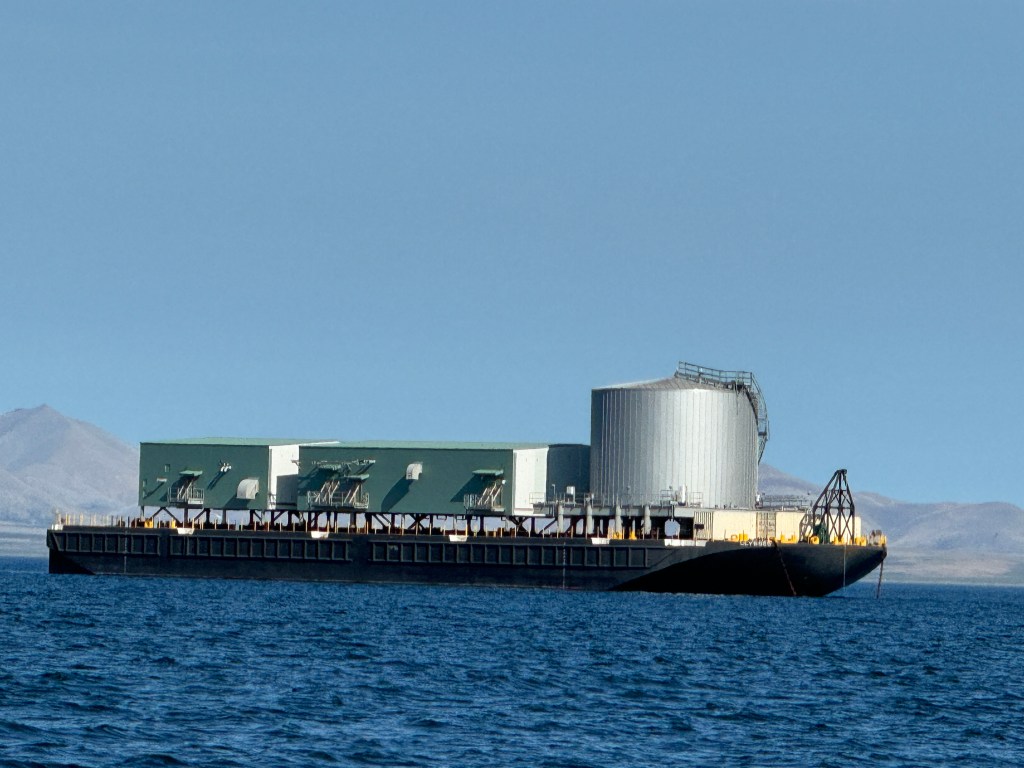
On our way in, we see a classic Arctic barge of the type that supplies much of the Alaskan Arctic with food, fuel and supplies. Randall surmised that it is waiting here for much the same reason we are….because the NW passage ain’t open yet and they, like us, are waiting for the ice to recede before they are pulled north. The small arctic villages north of us anxiously await these tugs, and it is possible that they receive only one per year – so its’ arrival is anticipated and a big deal in town.
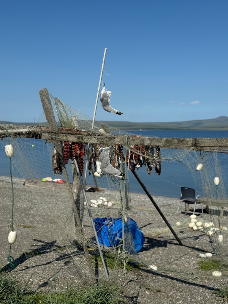
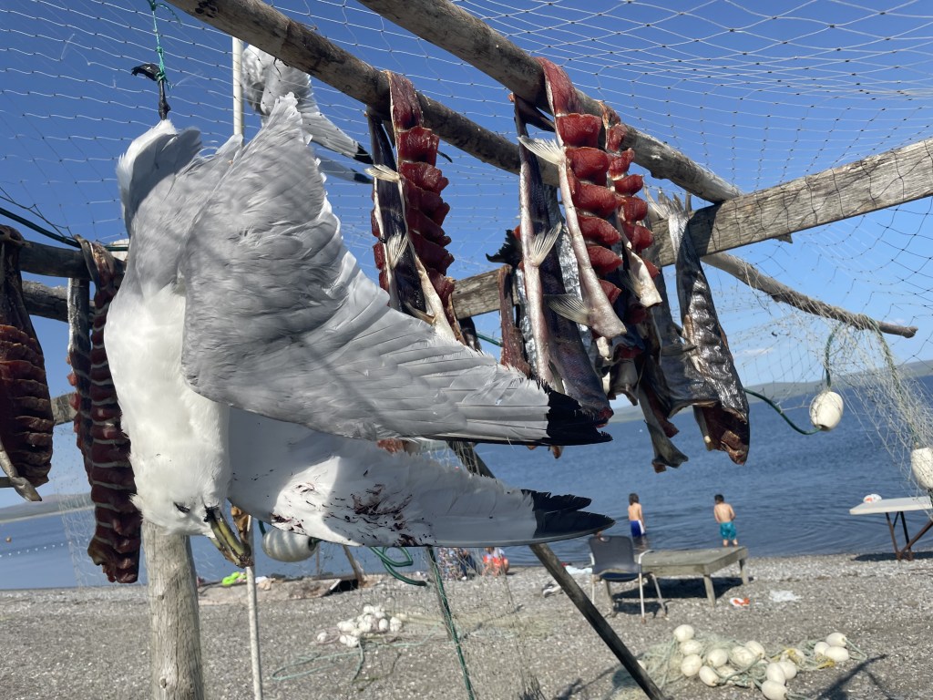
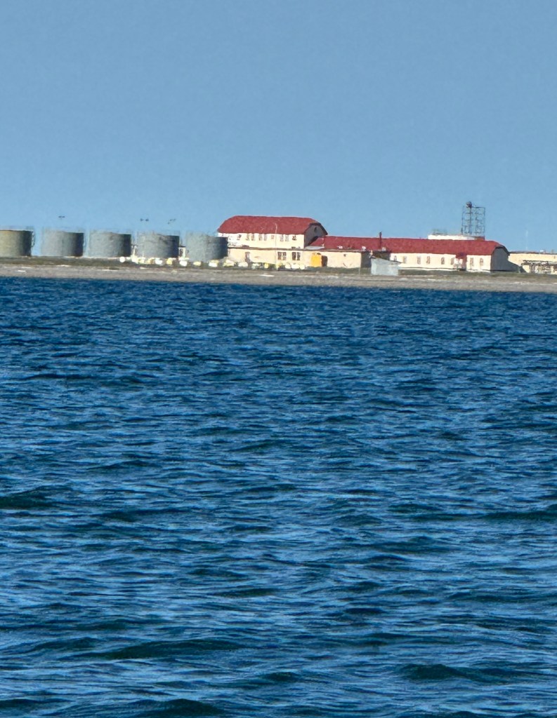
Here we are making land fall in the “town” of Teller. To the top right are salmon drying (the natives sometime like to dip them in seal oil before eating). Looks like a couple of seagulls got a bit too close and nibbled on the salmon so the locals now use those two poor seagulls as deterrents so the other seagulls stay away.
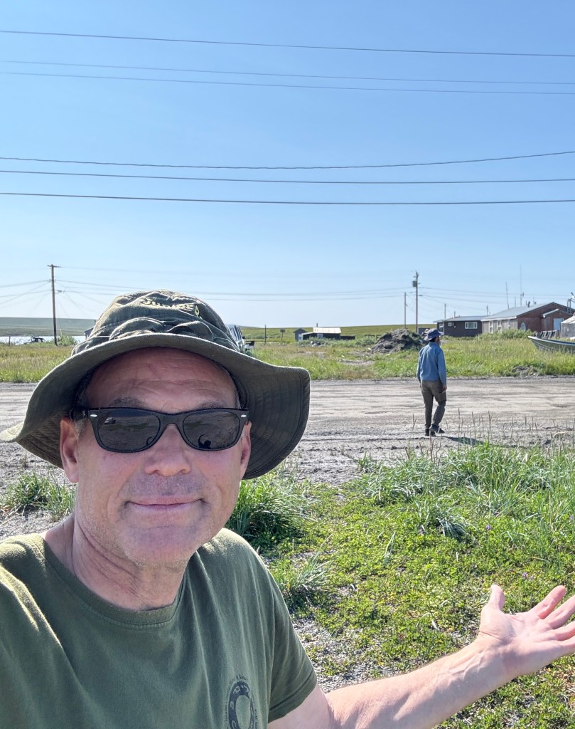
Teller is described as a, “traditional Kawerak Eskimo village with a subsistence lifestyle” consisting of seals, beluga whales, fish, reindeer and musk ox. At its peak in 1900, Teller was a major supplier to the Bluestone Placer Goldmine (15 miles away) and supporting a population of 5,000. Today, there are approximately 260 residents and I can report that none of them came out to meet us (again!). In fairness, we saw almost no one in town, and those we saw were simply not interested in us. From the beach, Randall and spied a non-native pulling up on the beach (natives driving him in a speed boat). He got off carrying a tripod and a couple of Pelican Cases. Randal surmised the tripod was for a camera. Being the suspicious, paranoid person that I am, I commented that I thought the man was a surveyor (he was really square looking). Well, I suggest that you (reader) save this thought for the moment, because I have made a startling discovery that I know you will find interesting (I will reveal it in next blog).
(So on with the story…) As a dry town, there is no alcohol permitted here – that means bought, sold, given or consumed). This perhaps explains why the two workers we encountered at the fuel pump were openly smoking a joint at (clearly not worried about setting off an explosion). We decided to come back another day to top up our fuel tanks.
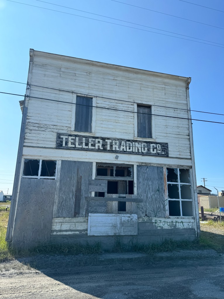
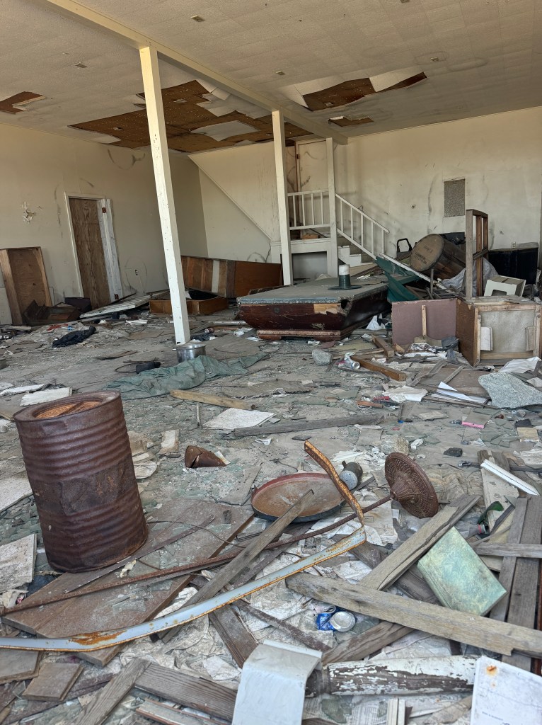
The Teller Trading Company building harkens back to the boom times when there was a “downtown” and thousands either at home or milling about. Hoping to get a glimpse of the past, we peek inside. Well, the 1900’s are long gone, but we did find some official papers from the early 1980’s (practically a century ago, right?!). Among the rubble and total disarray was a collapsed pool table (perhaps it was a bar at some point?)
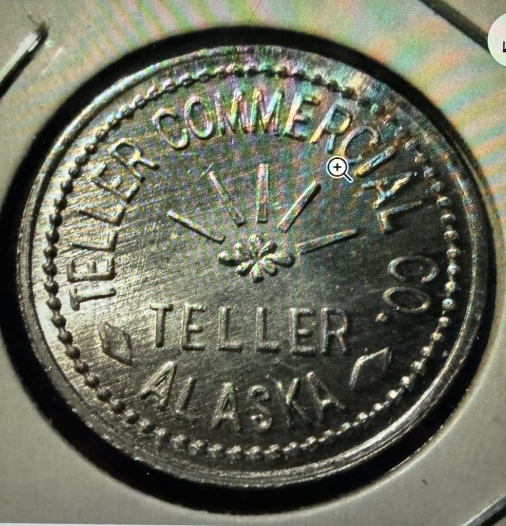
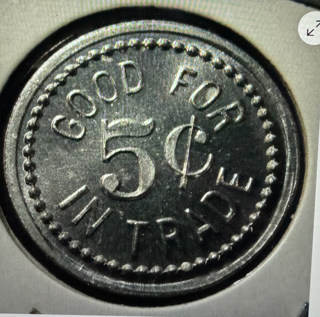
I found this coin for sale on eBay suggesting that in the boom days of the 1900’s (at which time Alaska was not a state) there was insufficient currency in Teller to support the local economy. This suggests quite a robust economic scene at the time.
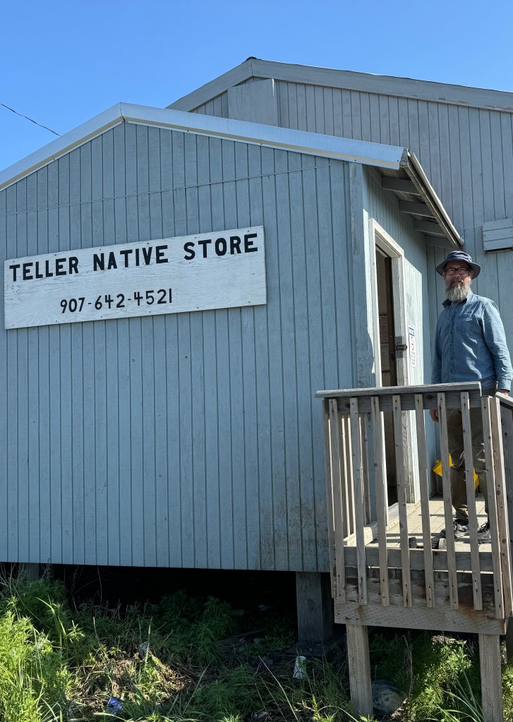
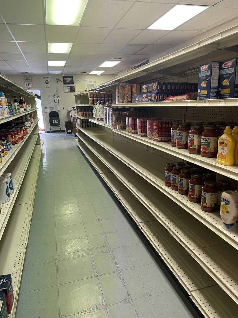
The only store in Teller is the Native Store owned by The Teller Native Corporation (which also owns the fuel station). Typical of many native stores, it is not well stocked and often lacks any fresh produce even in summer when delivery transportation is not a problem.
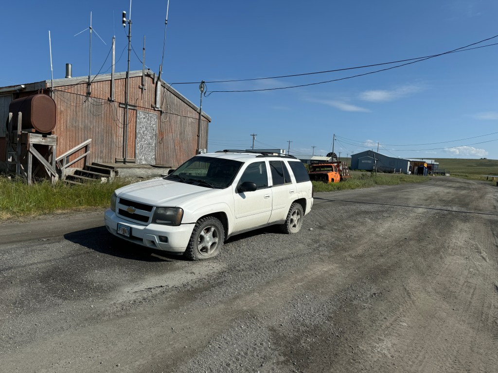
So here was this decent looking Chevy SUV with a flat tire, just sitting in the middle of the road. Clearly it has been there for a while, but not a problem due to the dearth of traffic. For those of you in the “know”, Teller is also the northern-most end-point of the Alaska Highway system with the last section being the 74 mile connection to Nome. I am sure there was a reason to connect Teller to Nome, but it escapes me for the moment. https://dot.alaska.gov/stwdplng/FTP/nwplan/nwplan_final_draft/tourism/tourism_chapter_2.pdf
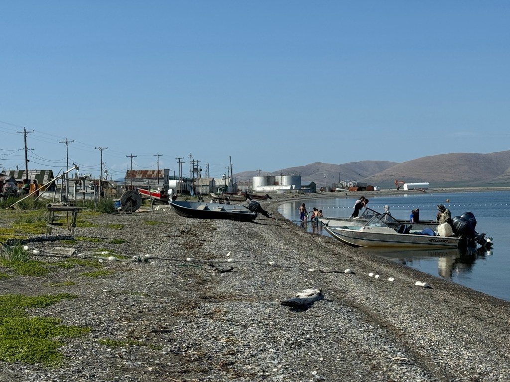

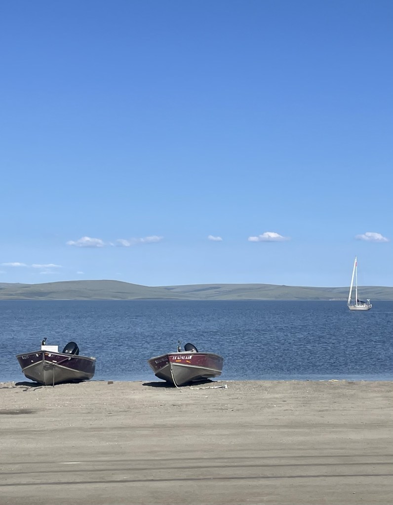
The local beach (one above) reminded Randall of a Baja or Mexican beach town. Kind of pretty but sleepy. But not as sleepy as this typical graveyard (directly above). Can’t beat the views.
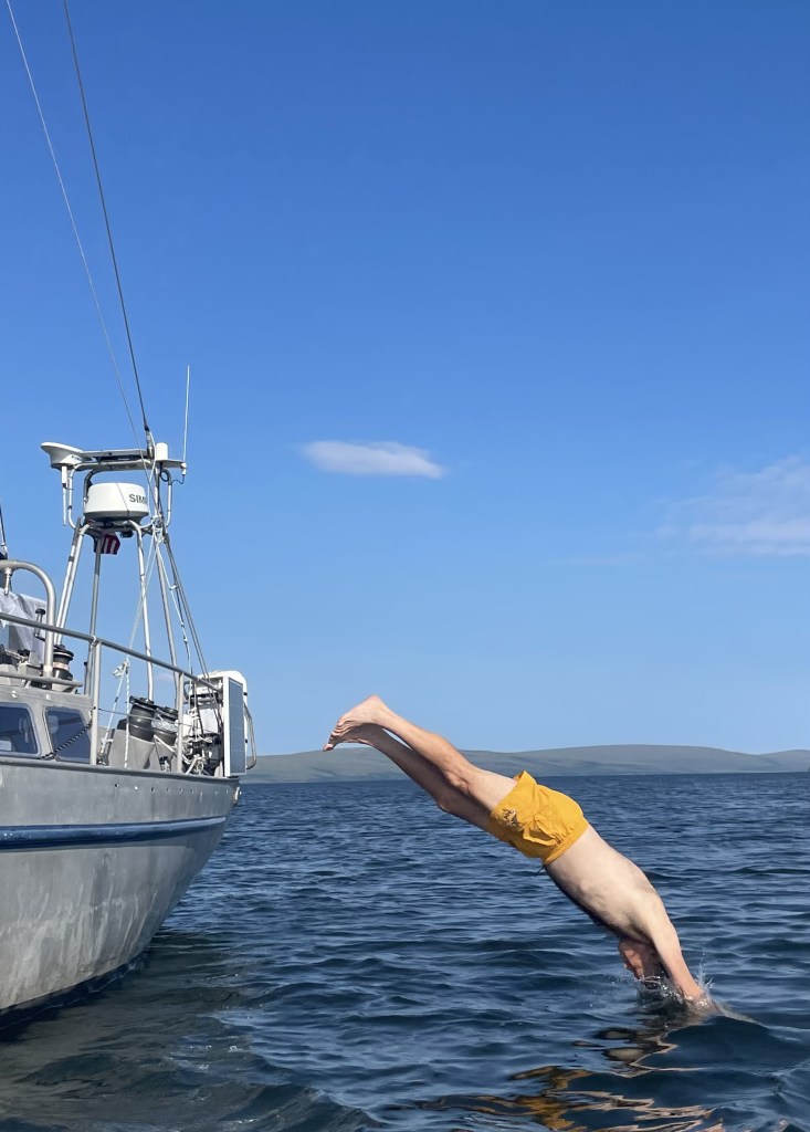
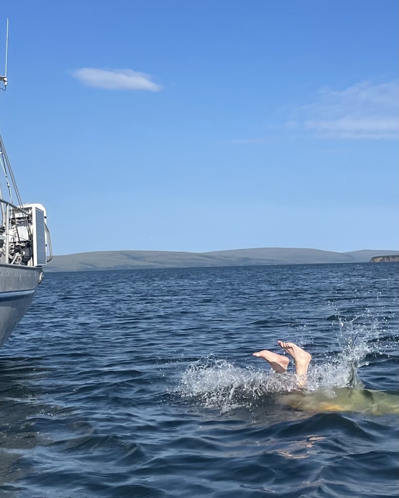
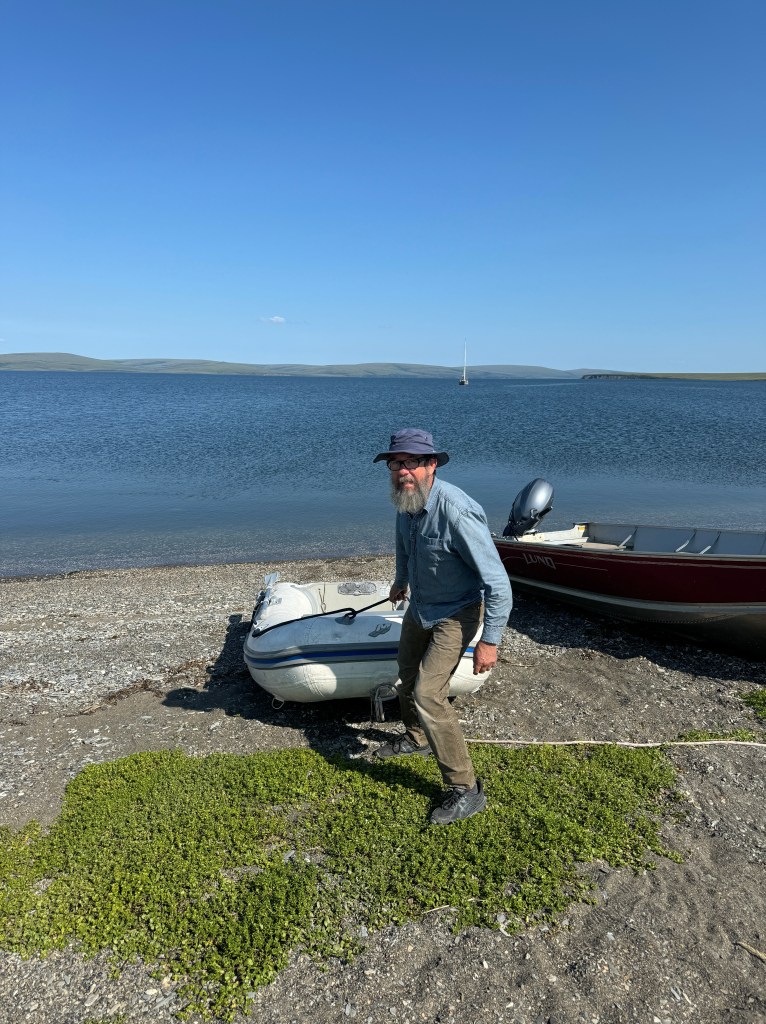
Back at the boat, I took advantage of the 70 degree weather (up from its usual 40’s to 50’s) to take a plunge in the Bering Sea lagoon (technically known as Grantley Harbor). Randall chose to be photographer and lifeguard rather than co-swimmer).
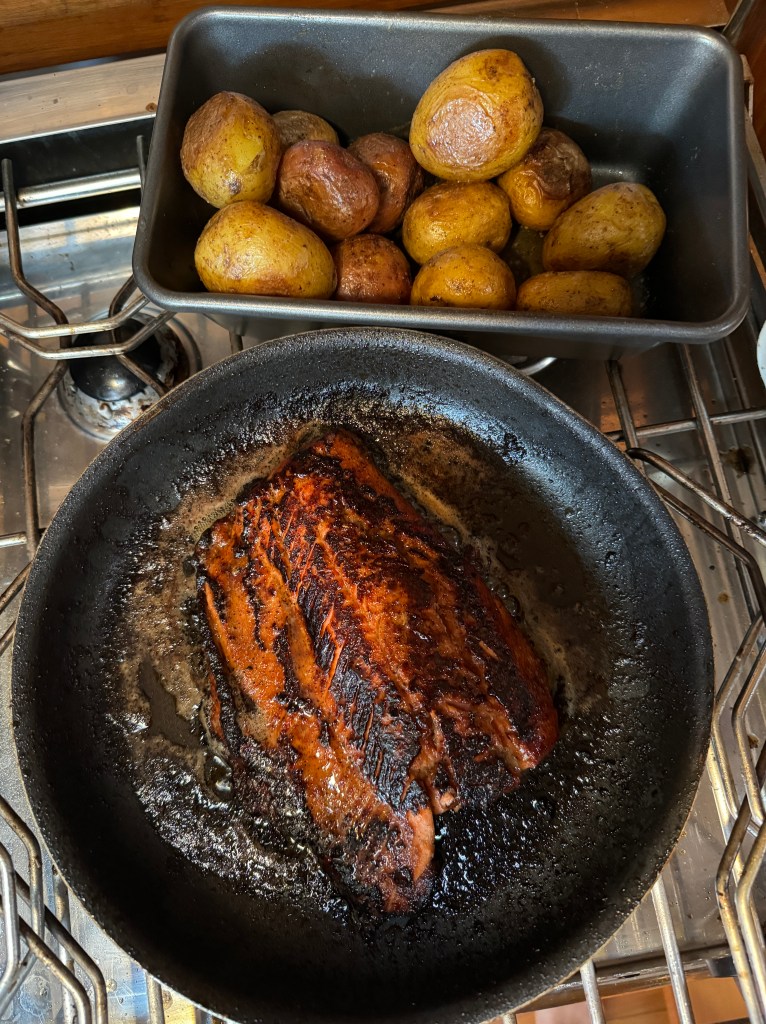
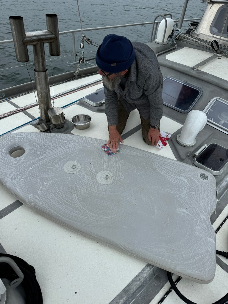
That night, I cooked up the last of our Coho salmon given to us in Nome. I used a combination of garlic and Japanese Barbecue Sauce. The ensuing mini-flambè almost took out the boat and the oder of cooked fish still lingers in the salon, but I think this fabulous meal was worth it (not sure Randall agrees). In the picture to the right, Randall chases down a small, hard to detect leak in the inflatable floor of the dingy. This was a 72 hour project from start to finish – it is still not finished (I would have given up at hour 2).
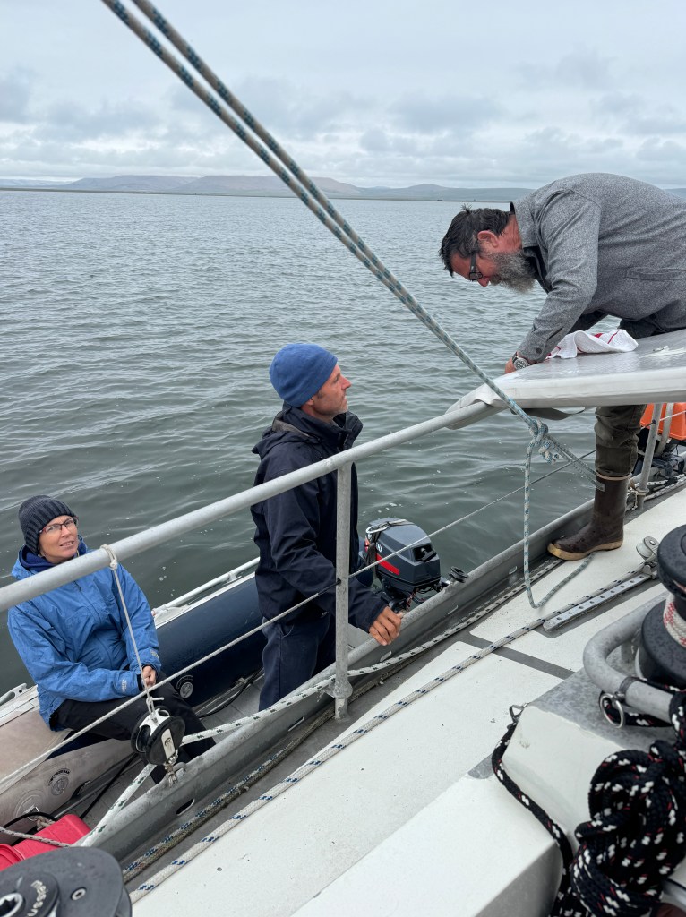

Our friends Marcus and Johanna from Pinocchio pay us a surprise visit and deliver two delicious pieces of chocolate cake. In the picture in the above left, instead of eating cake, Randall pumps our dear neighbors for their knowledge and theories about PVC punctures, and which adhesive works best (there are many). After exhausting their technical acumen, they declined our offer to come in for a glass of wine (being afraid, I am sure, of what we would ask next).
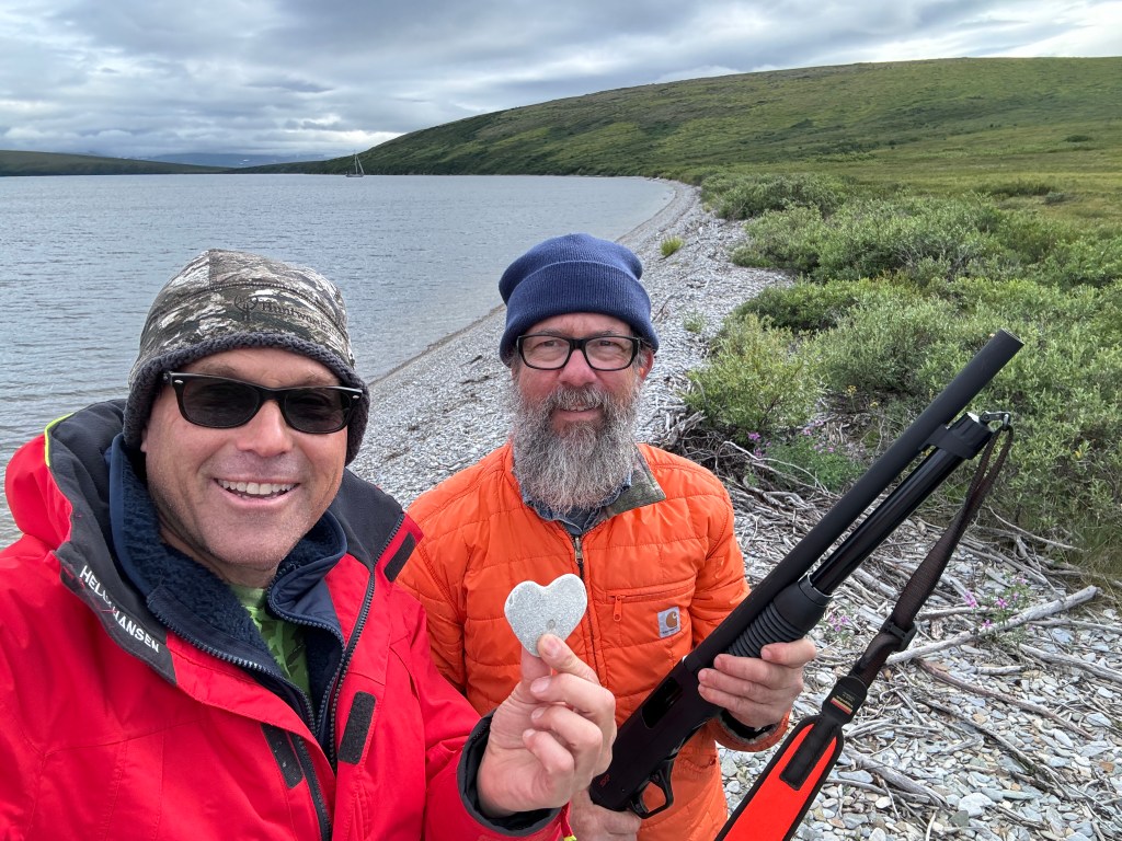
I put this in the “Only in Alaska” category – Randall and I leave Grantley Harbor, go through the Tusk Channel and into Imuruk Basin. We anchor there, jump in the dingy and head onto land to do some pre-bear target practice. Lots of lovely stones on the beach, but this one found by Randall sums it up for both of us (if I can say so myself!)
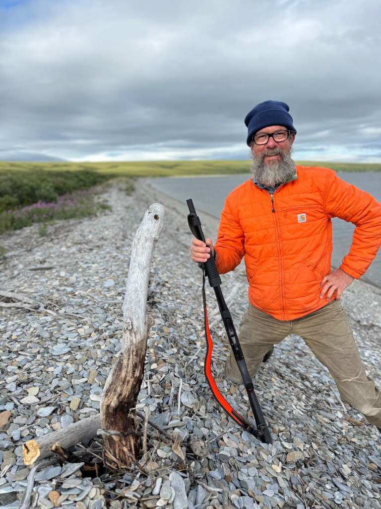
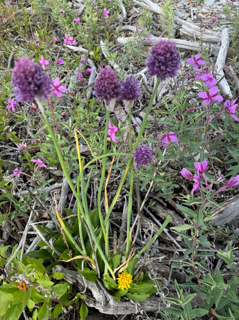
Randall is proud of his shooting skills as he hits the “Bullseye” (you can see the hole center at the top of the driftwood). To the right is a wild flower whose pedicel doubles as an onion (more like a chive) which we happily added to our surimi dinner.

Leave a reply to Shar Beckheyer Cancel reply