Leg 2
Blog 15
August 17, 2024
Check out this ice!
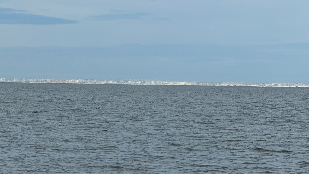

Before we get to Herschel Island, I want to show you the two pictures (above) that put the fear of G-d in me. As one travels through the broken sea ice, images from afar jump out and shout, “The end is near”. And indeed I thought it was as we approached the above wall of ice that appeared directly in front of us, and all around us. I was staring at a 200 foot high wall of ice that extended out for miles with no way to go around it. This reminded me of a recurring nightmare of mine where I am floating alone in the water in an ocean storm and there is a 200 foot tidal wave that is about to engulf me (before I wake up).
The dream, thankfully, is not real and neither are those walls of ice…But the pictures I took capture accurately the mirage of the sea ice flows as we see them from the boat. What is actually a “field” of broken sea ice several miles away that are less than six feet high that we can easily maneuver through looks like, from a distance, a 200 foot wall of ice that will stop us directly in our tracks. Only experience and Randall’s reassurance that I was seeing things kept me calm.
Herschel Island

Herschel Island was the principal base for American whalers in the Western Arctic even though it is squarely on Canadian land. During the peak years of 1894-95 it boasted a community of 2,000 whalers + Inuit who made their first prolonged contact with westerners (hint: it did not go well). Alarmed by the demoralization and early deaths of the natives, a mission was established there in 1896 and in 1903, Canadian sovereignty was established. But due to the discovery of oil (petroleum) the whaling industry was largely dead by 1914ish and by the 1930’s the island was abandoned for mainland settlements.
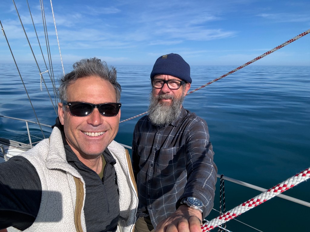
So much for the ice! The sun is out and the wind turned herself off as we get close to Herschel.
So much for my hardship stories (and special Arctic wardrobe). As we approached Herschel Island, the wind turned warm and the temperature reached 70 degrees (the water was still in the 40’s so swimming was OUT. Randall tried to take us into a back lagoon for the night to avoid a bluster, but we (again) found severe inaccuracies in the charts that promised 10 to 15 foot depths that turned out to be less than six. After a couple of tense “keel polishings”, we turned around to go into the main lagoon (Pauline Cove below).
As whale stocks began to be depleted in the late 1800’s, whaling ships started to search out more fertile grounds and they sailed way north into the Beaufort Sea to hunt bowheads for oil and baleen. Pauline Cove (above) became an advance whaling base from which expeditions could be launched. To get an early start on the next season, crews would overwinter at the site where they would spend their time rendering blubber aboard the ships. Once winter was over, these crews were already in position to begin hunting whales without having to wait for the sea ice at Point Barrow to break. They were ahead of the game for the few years that the game remained.
From the 1930’s onward, Herschel Island sat there abandoned for decades, but was eventually turned into a “Natural Environmental Park” in 1987. The Canadians take its preservation and operation seriously even though it receives few visitors throughout the year. Meanwhile back on Mōli as we prepared to go onshore the next day:
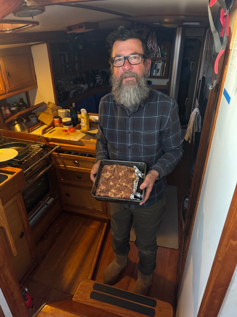
It’s “A Guy Thing”(above): O.K., so I missed Randall’s birthday. I only figured it out when one of his friends made mention of it by responding to a blog post several days after the fact. In retrospect, there was a hint. Several mornings prior, Randall wakes up, goes to his corner of the boat, opens up a card and a box of chocolates and offers me one. He says nothing, I say nothing. Being his socially insensitive counterpart, I assumed he was just feeling lonely from home so he opened up a reminder present. Whoops. Anyway, so to make up for it, the next morning I cooked him breakfast and made him a cake that he appears moderately happy to receive. Oh well, there is always next year….
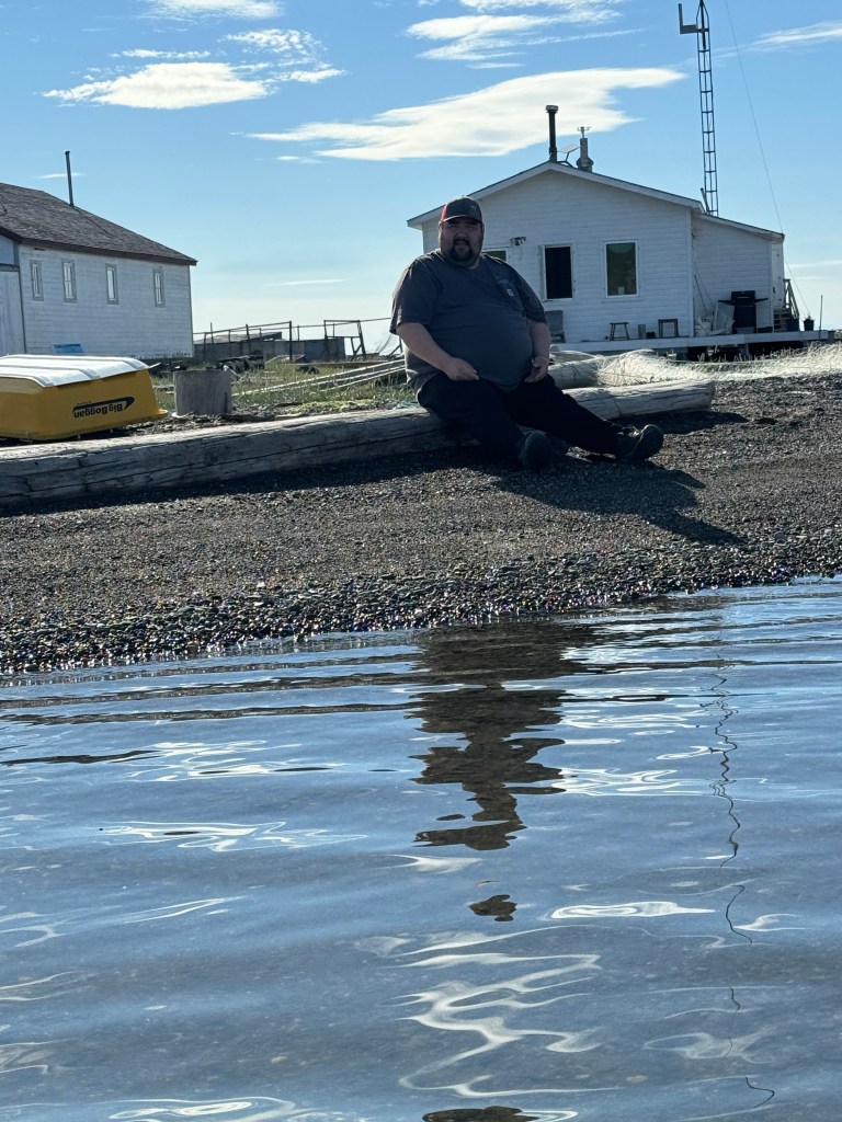
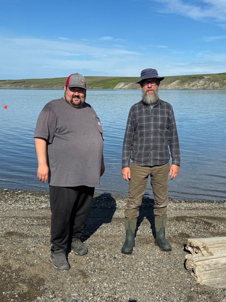
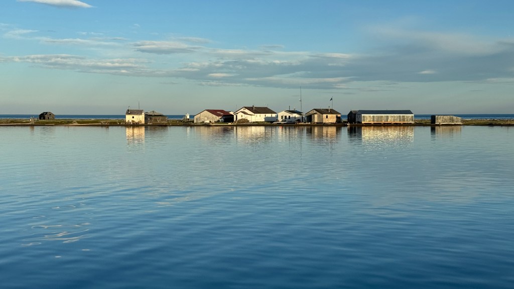
Making landfall on Herschel Island the next morning we are met by “Fill-In” Ranger Desmond. It seems the Canadians offer a part-time, seasonal equivalent of a Park Ranger to the native population. Desmond explained that it was now “high season” and while sometimes he could be all alone for a week or two, a plane was soon going to land with the head ranger, some biologists and tomorrow a National Geographic passenger ship was going to visit for the morning. In addition, already on the island were two naturalists (along with a reporter from the Guardian) that were there to survey severe erosion caused by a warming climate.
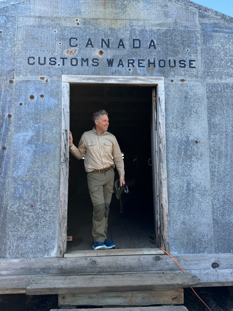
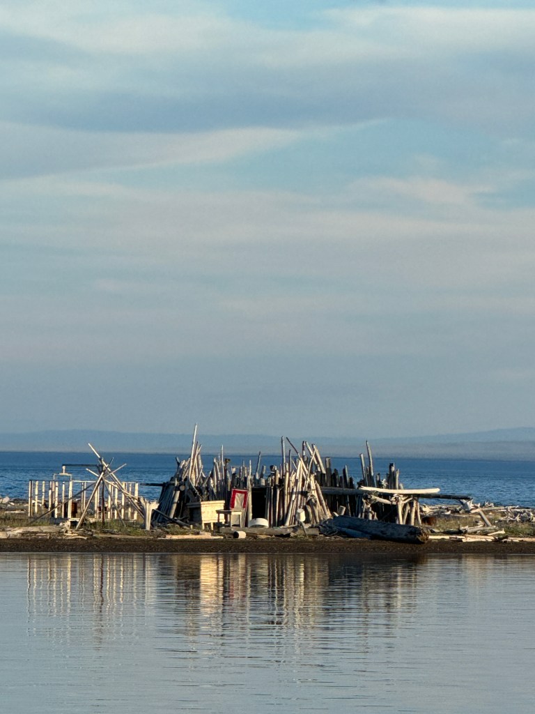
(Above left:) I am standing at the entrance to the Canada Customs Warehouse. The Northern Whaling and Trading Company constructed this building in 1926 for use as a bonded warehouse.The following link is a super cool way to view the unrestored version of this building – https://sketchfab.com/3d-models/building-no3-canada-customs-warehouse-6ce386c89e9846c18fc3ebed0086e325
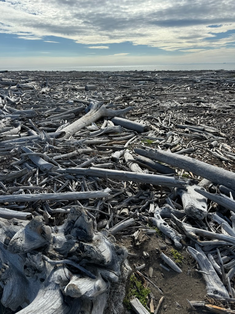
(Above right:) The lagoons and shore on Herschel are filled with drift wood. What makes this odd is that Herschel Island is all Arctic Tundra and there is nothing taller than one meter. The closest trees are many hundreds of miles away. Perhaps they drift down the Mackenzie River which cuts through a boreal forest on its way to being the longest river system in Canada and the second largest drainage basin of any North American river after the Mississippi. The drainage basin is about 100 miles east from Herschel Island.
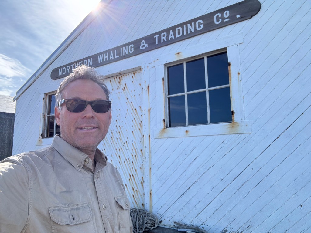
(Above) I am standing in front of the Northern Whaling and Trading Company Store that was also constructed in 1926. The materials for the construction of the warehouse would have been brought to Herschel by the Whaling and Trading Company and constructed by a combination of the European and American Whalers and hired Inuvialuit workers. https://sketchfab.com/3d-models/building-no3-canada-customs-warehouse-6ce386c89e9846c18fc3ebed0086e325

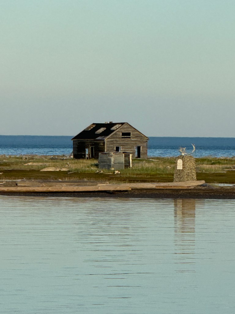
The above three pictures are of the former “Community House” originally built in 1893 from mostly Douglas Fir that was pre-cut, shaped and labeled in San Francisco and shipped to Herschel Island by the whaling fleet. It was first used as a community building for the officers (of the whaling ships) who spent winters on the island. Reportedly, its rafters were used to hang supposed miscreants – possibly Aliomiak and Tàtimagana the first Inuit to be executed under Canadian law in 1924. Today it houses artifacts from those days.
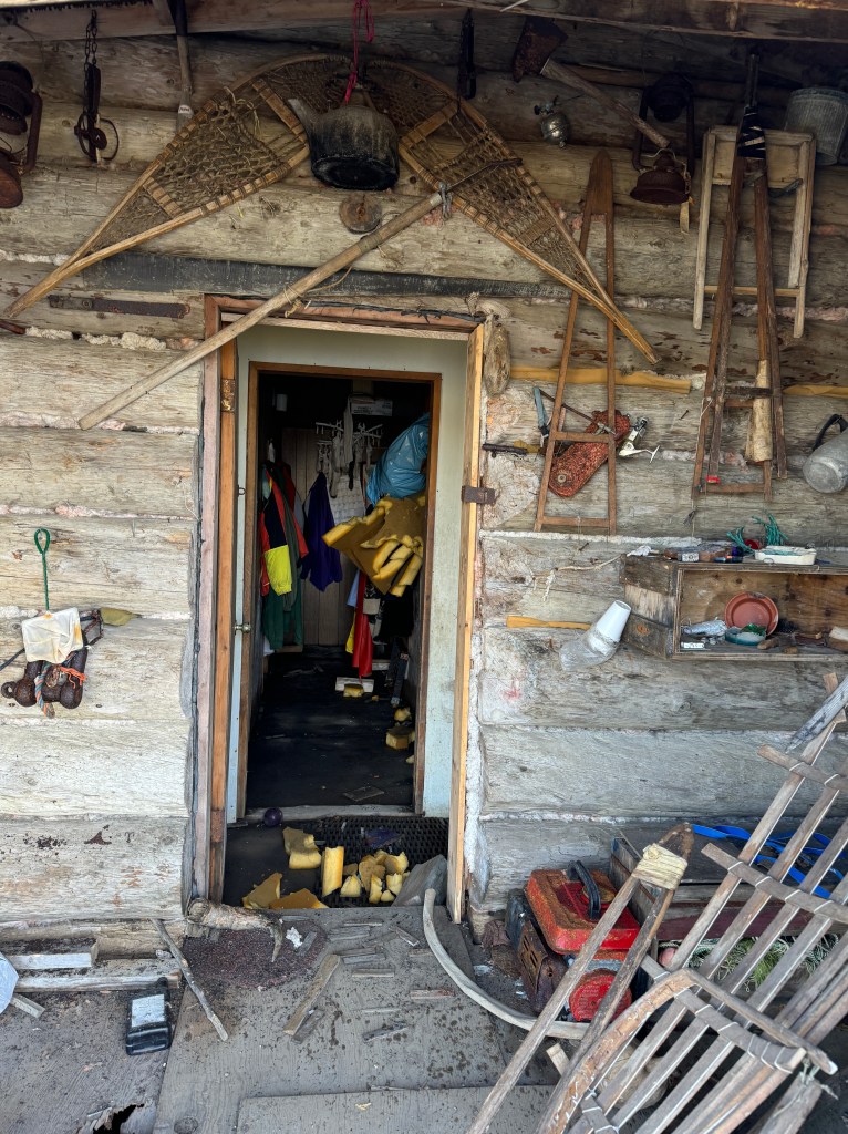
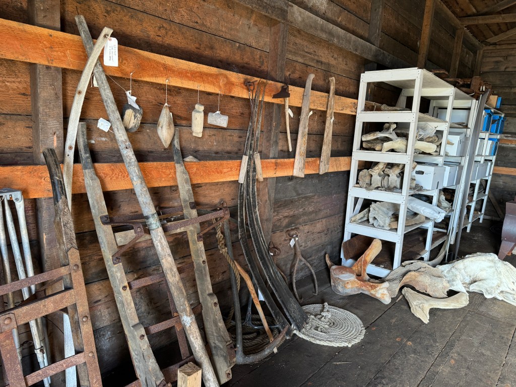
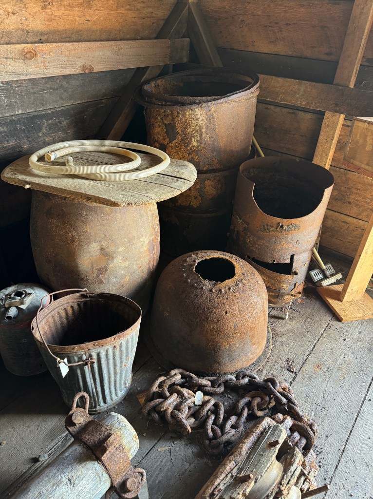
Above is the “Small House” of log-cabin construction that has held up pretty well. It now stores a lot of tools used in the upgrade and restoration of the structures on the island. Here is a better look at the entire building: https://sketchfab.com/3d-models/building-no11-small-house-dd33994790ba48d1b46af031cee1d664
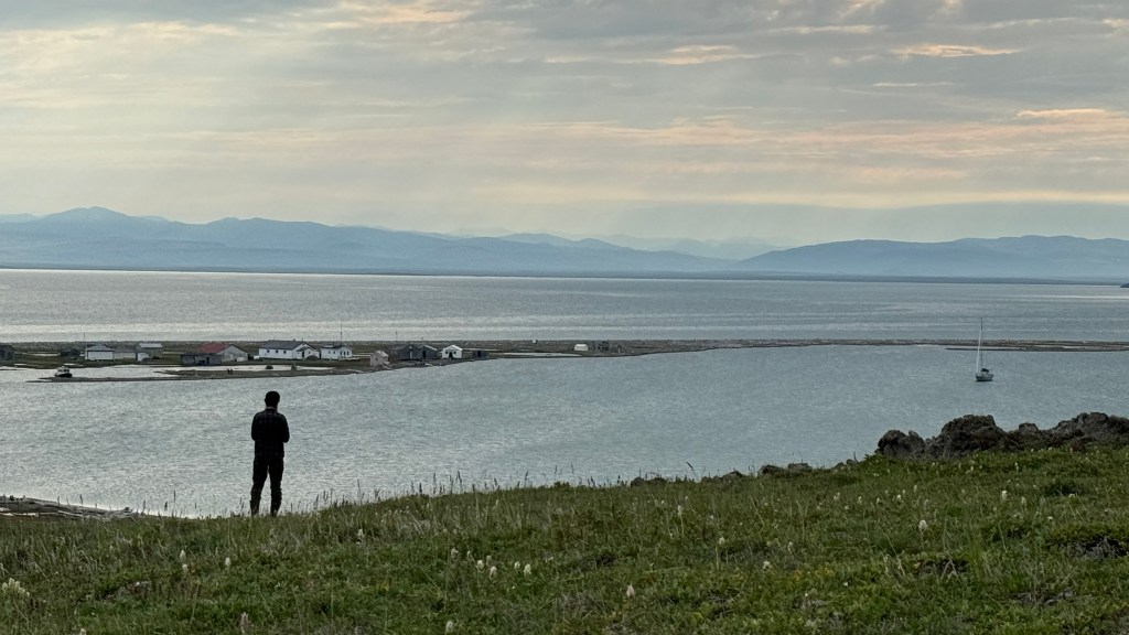
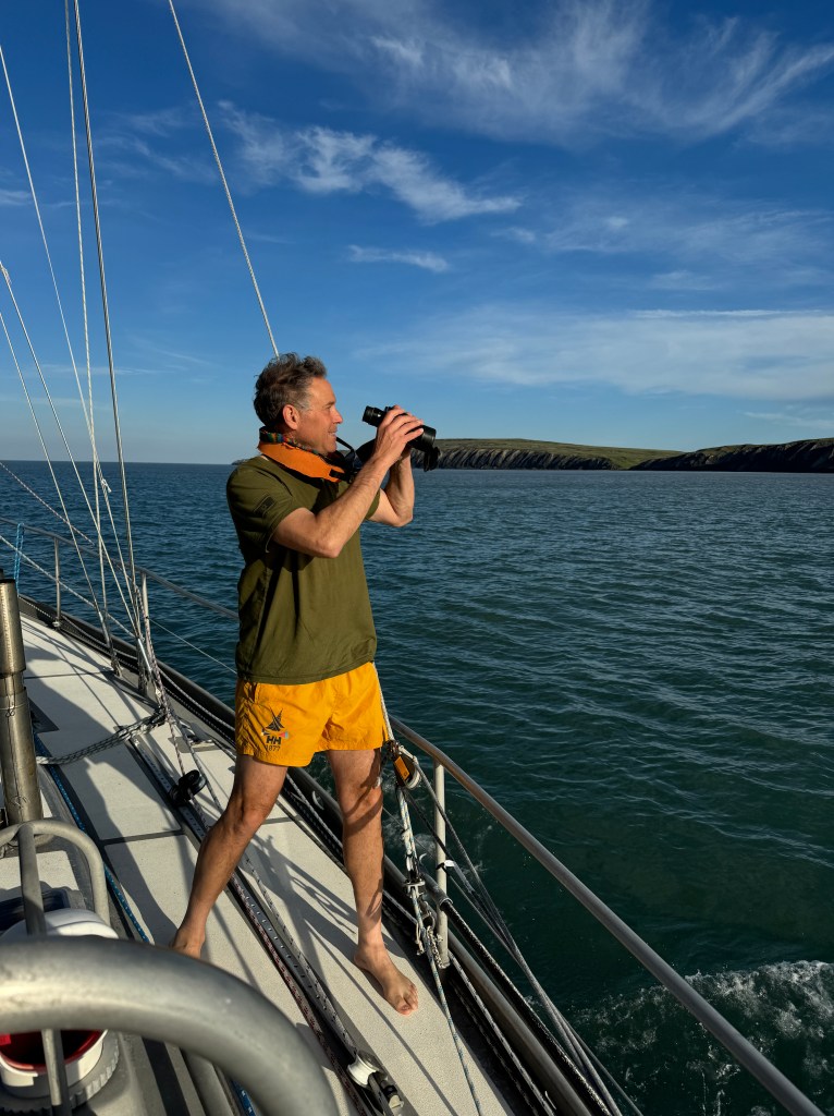
After examining the physical structures of the “city”, Randall and I head for the hills that overlook Pauline Cove. Above is Randall pondering about the quality of Mōli’s anchorage (look far right). All calm now, but we had problems early the next morning.

The whalers followed the example of the Inuvialuit and constructed five ice-houses to store fresh meat and other food throughout the year. The whalers used dynamite to blow holes in the permafrost and then built a vestibule and a small storage room. They then roofed it and recovered it in sod. Only one out of the five they built remains. Below are the ruins of the other four.
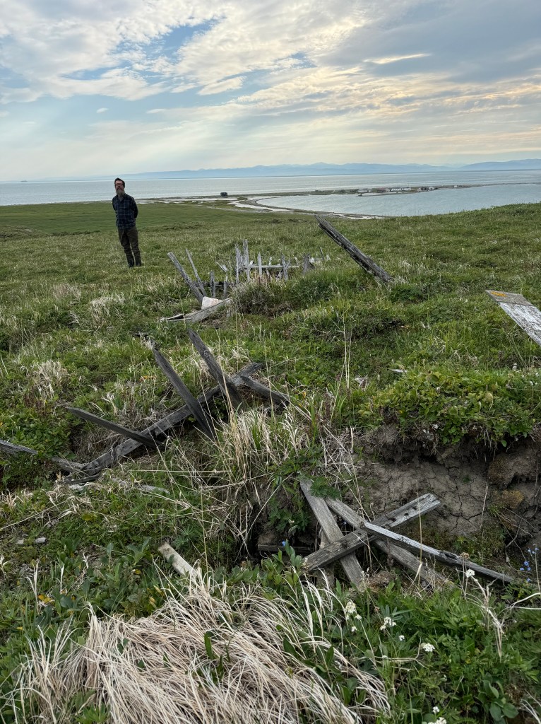
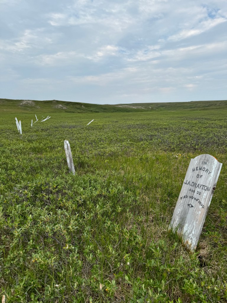
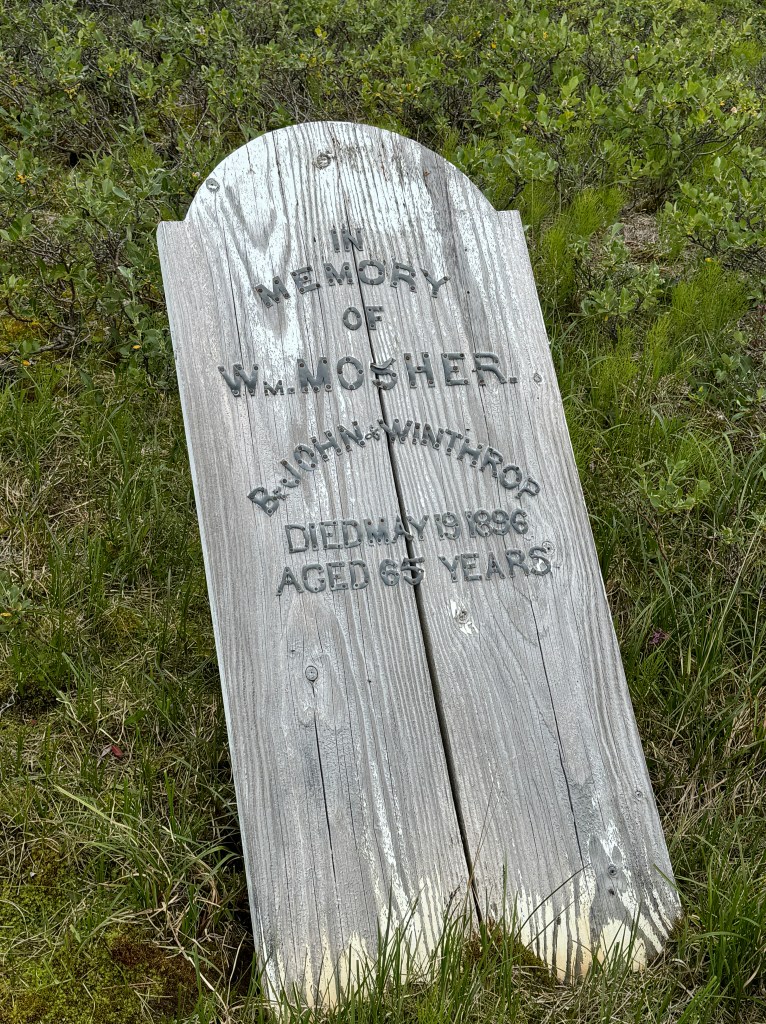
Above is the “Whalers’ Graveyard” which contains 24 graves from 1890 to 1916. Most of them died young for reasons we have yet to discover (the Smithsonian reports that five men died during a baseball game in 1897 when a blizzard struck before everyone could take shelter. https://www.smithsonianmag.com/travel/endangered-site-herschel-island-canada-54373929/ Turns out the original headstones were removed and stored in a government facility. The above were installed in 1986.
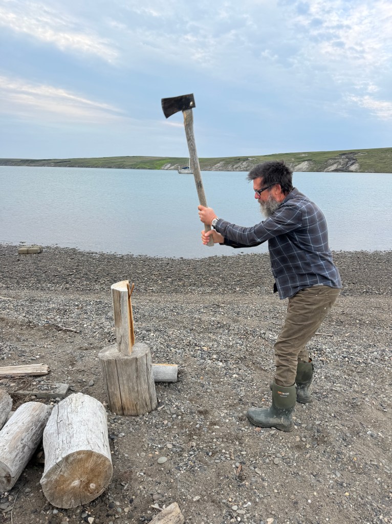
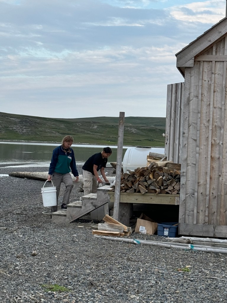
Meanwhile back at camp, Randall “discovers” the sauna (above right) that is complete with a gravity shower. We learned that the “cost of admission” is that one cuts enough wood to heat one’s own sauna. So Randall chops the wood. Meanwhile, however, the biologists/naturalists moved in and “took over” and gave us looks that could be interpreted as “you guys would not necessarily be welcome if you came and joined us”. That was enough to scare Randall and I away back to the boat.

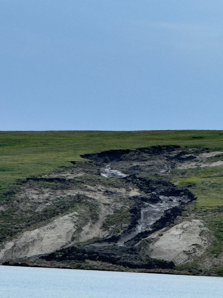
Unfortunately, Herschel Island is one of the areas hardest hit by global warming trends. Since 2008, scientists have been studying the rapid onset of tundra erosion there. https://www.cbc.ca/news/canada/north/yukon-herschel-island-erosion-1.4253948 Both Randall and I have seen plenty of erosion and landslides in our time. What we found fascinating here is that the mild slope of the contoured land did not justify the extreme erosion and accompanying landslides. It was explained to us that the reason for this is still unknown. However, scientists are focusing on the thin frozen layer of ice just below the permafrost. When that layer of ice melts, it becomes incredibly slippery causing the permafrost to slide away from the layer beneath.
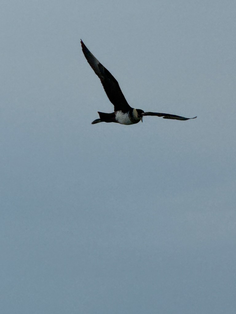
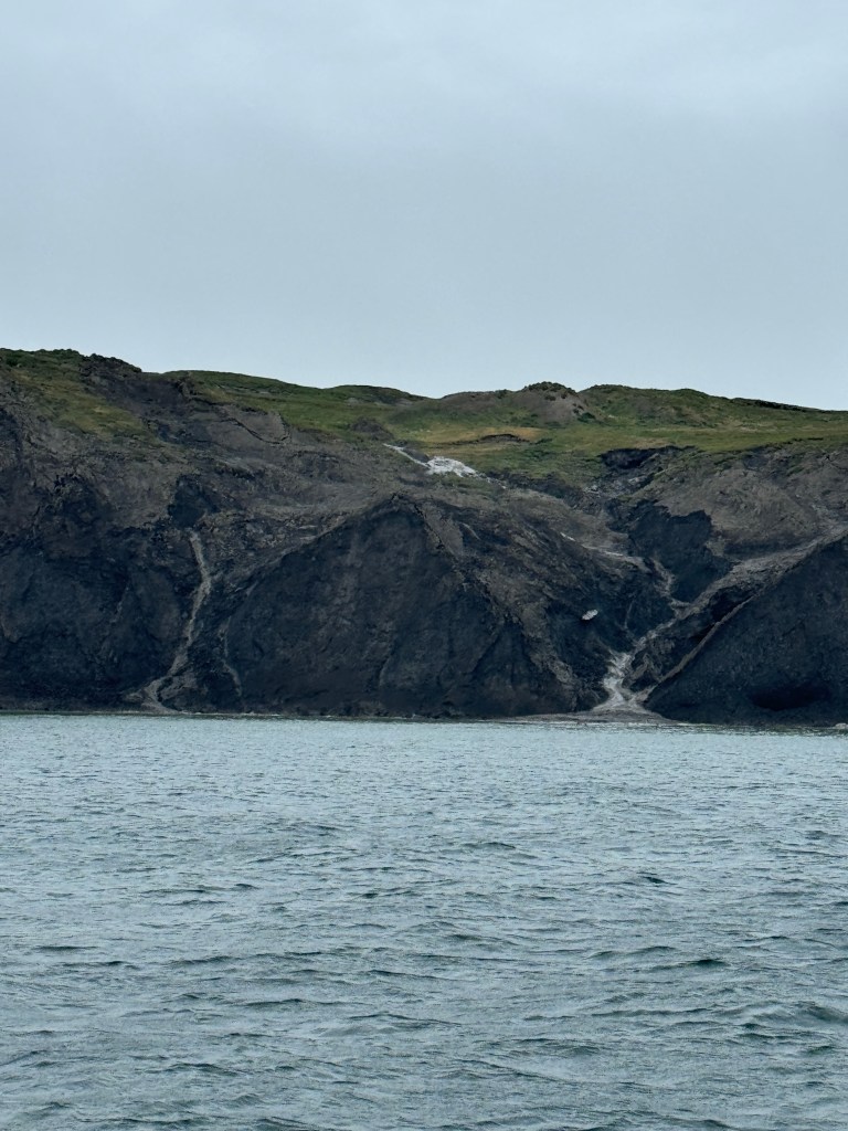
Above left: We snuck in a little birding and spotted a flock of Arctic Skua (Jaegers) playing around and doing a little fishing. Above right is another view of the tundra erosion.
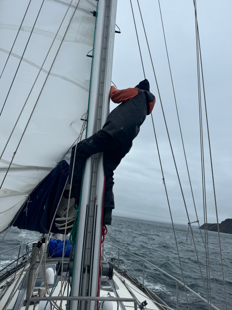
We were planning to sleep in the next morning and have a relaxed exit out of Pauline Cove, but at around 0500 the wind picked up and blew 30 knots. Randall started the engine and woke me because the wind was causing us to drag anchor in the wrong direction. We had already been blown almost 100 yards towards shore and we were quickly running out of water. The bottom of the cove is reported to have “slippery mud” and it sure was sticky as it did not want to release the anchor as we tried to pull it up. The four foot wind waves pushing us in the wrong direction convinced us to get a move on, so Randall drove the boat out of the harbor while the anchor dragged in the mud. On anchor duty, I finally figured out that if I gave the anchor some slack, it “relaxed” and I was then able to quickly pull it up. When we finally got into the lee of the island (still blowing 20) we tried to hoist the main, but the cars got stuck in their track due to the wind pressure. Above is Randall climbing up the mast to try to shake them free. Shortly thereafter, we let the wind do the shaking and the cars became free and we were on our way. See you at the next blog (Tuktoyaktuk).

Leave a reply to Harmon Shragge Cancel reply