Leg 2
Blog 21
September 6, 2024 (Happy Birthday Mollie!!)
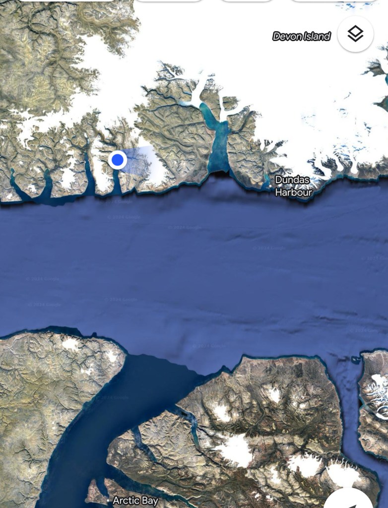
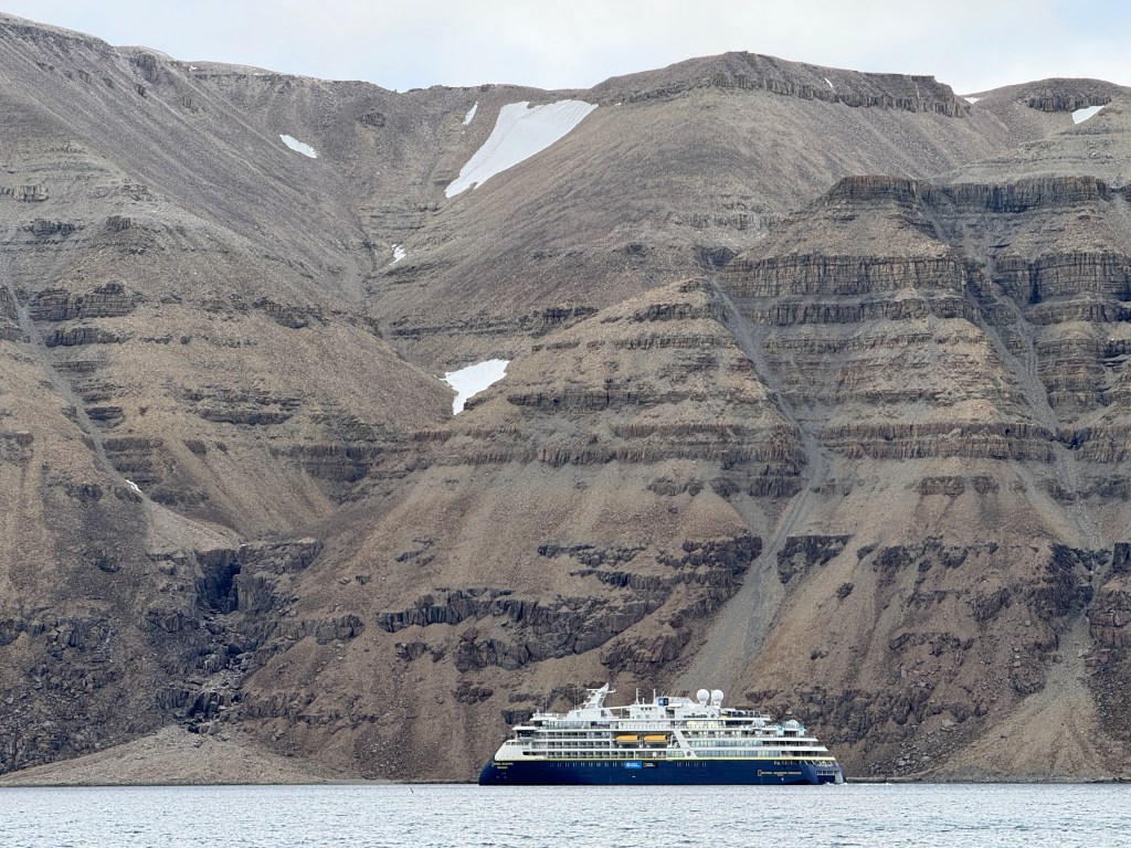
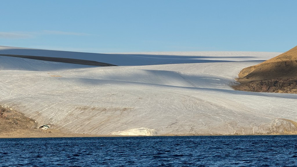
Above: You can see Cummins Inlet on the south side of Devon island in north side of Lancaster Sound.
On our way to Arctic Bay from Fort Ross, Randall recalled that on one of his past crossings he had visited Cummings Inlet and seen a huddle of Walrus. This may have been 10 years ago, but we thought it would be worth the time it took to cross Lancaster Sound and head north into Cummings Inlet.
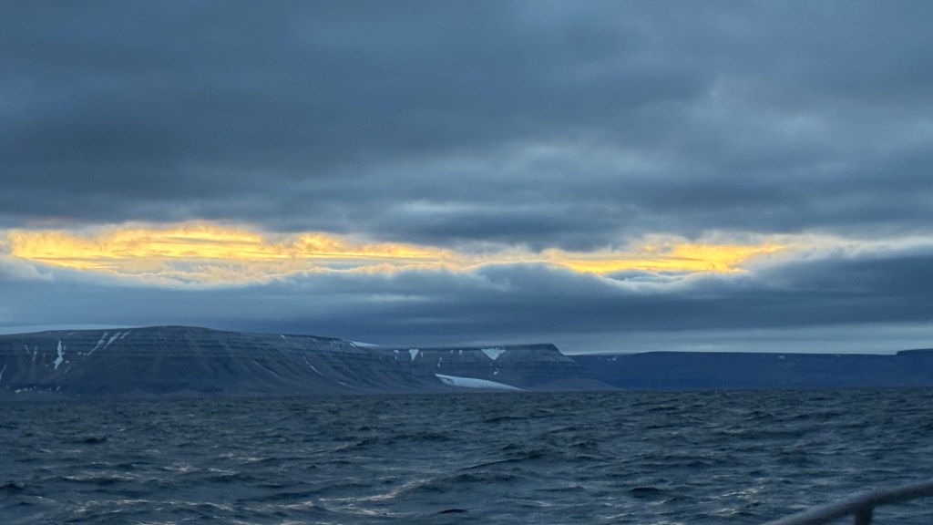
Above: Here we are approaching the Inlet at 0330 and the night sky continues to amaze.
Above: We anchored in this lonely and desolate spot. On the way in we did see a huddle of Walrus swimming in the distance (their tusks made them quite identifiable), but that was the last we saw of them.
Above: After setting anchor at 0600, we went to sleep shortly thereafter. We woke up at 1400 and looked outside and saw the National Geographic Endurance (that we had seen previously at Herschel Island). Dang! Just when we thought we were all alone and had (re)discovered a special and sacred spot here comes this cruise liner! There is literally not a village or another person for hundreds of miles, or so we thought! Devon Island, after all, is the largest uninhabited island on earth.


Above: Before heading out we had a Mediterranean meal – Hummus, Dolmata, Gigante beans + an egg for protein. Thank you Greek family (Eleni, Sam, Katerina, Alexi) for the inspiration plus Randall for caring the cans! Above right you can see how clear the water is – even though it is barely over 30 degrees F.
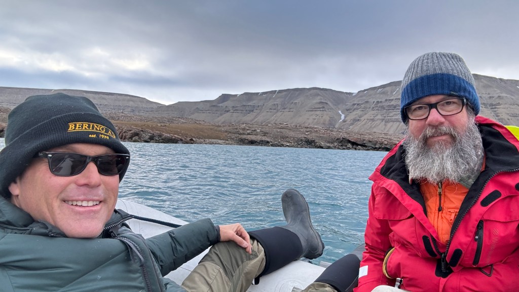
Above: The water is cold and deep and we take the dingy ashore to explore.
The mountains are bare and devoid of any growth, yet they are huge and magnificent and go on forever. The environment on Devon Island is best described as “polar desert” (not “tundra”), meaning that it is both very cold and dry. Devon Island presents the single largest continuous area of barren rocky polar desert on Earth. Devon Island is home to Haughton Crater, a 20 km diameter meteorite impact crater that formed about 23 million years ago, during the Miocene.
The topography is so similar to Mars, Randall explained, that Nasa has established a Mars training program not so far from us. It took a bit of digging, but this is what I found: https://www.marsinstitute.no/hmp
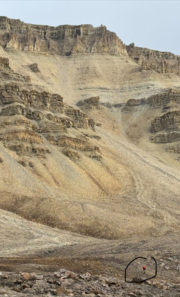
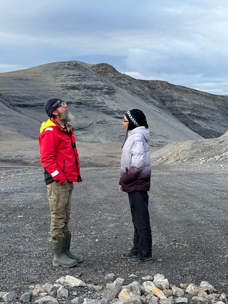
Above: Randall is determined to climb up the mountain as far as he can as I lag behind.
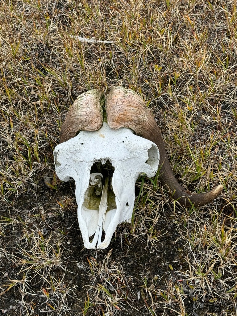
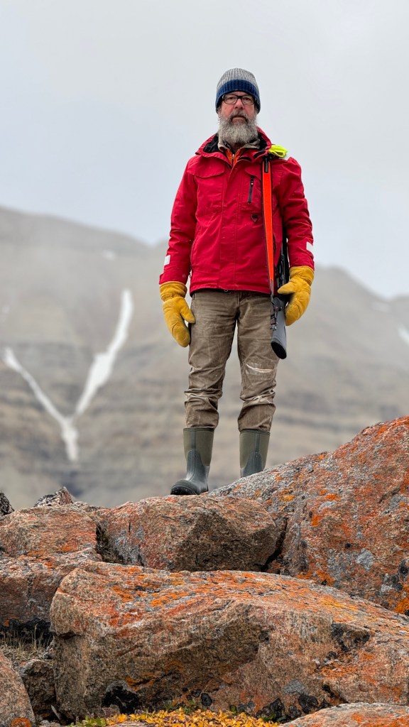
Above left: We have been searching for a Muskox this entire trip and we finally find one, albeit not exactly alive. The horns look like braided hair. Above right: Randall on bear patrol. We saw none in this spot.
After the cruise ship departed, we are alone again.
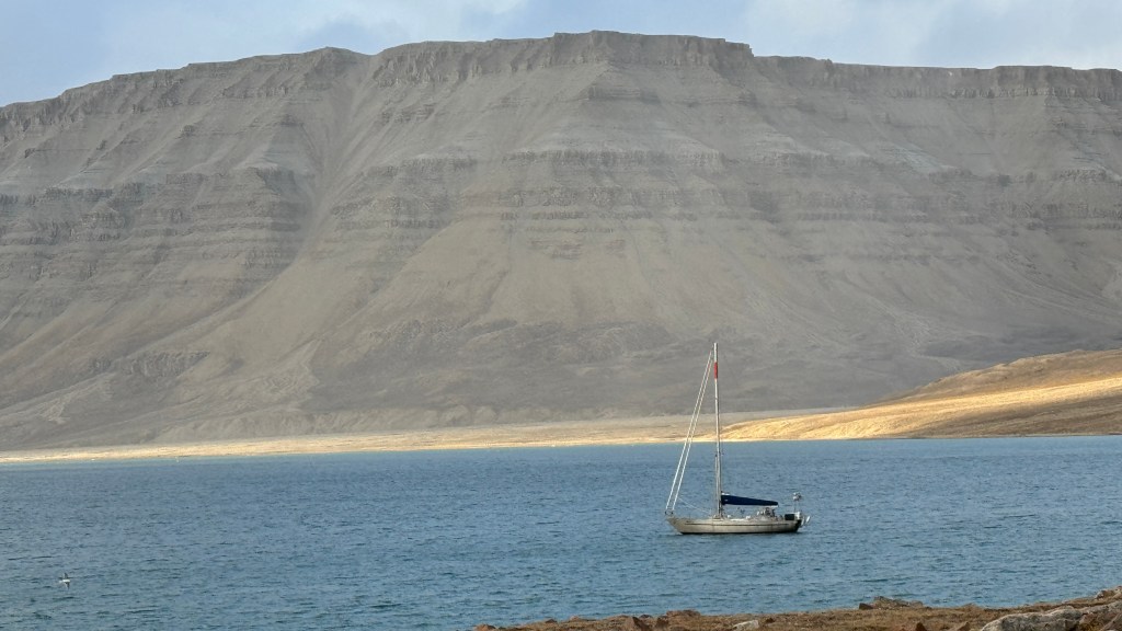
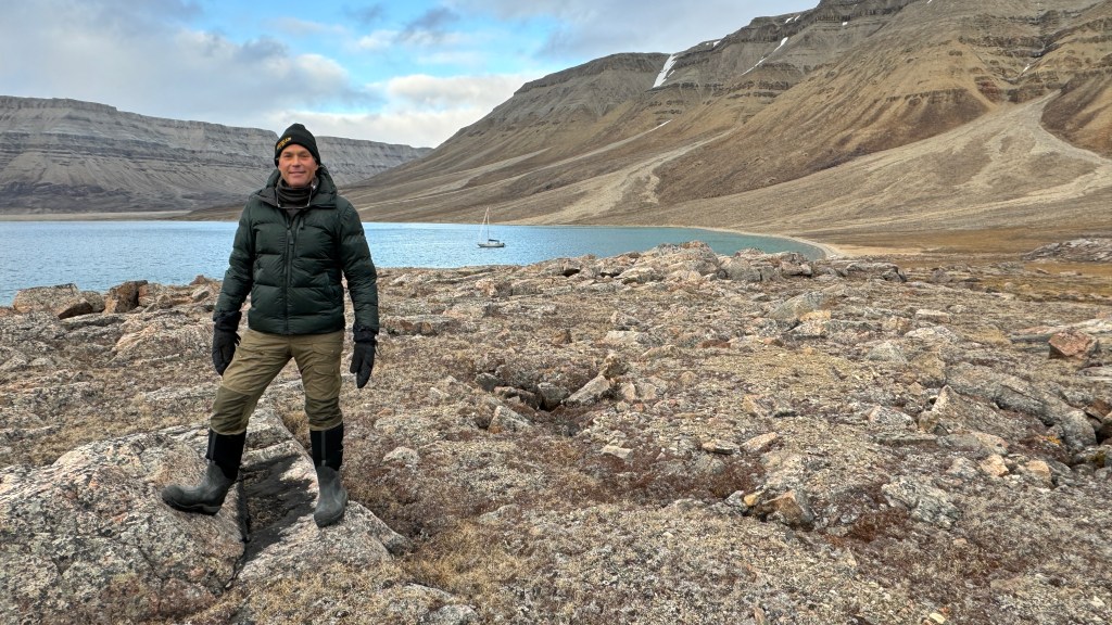
Above: Mōli sits at anchor in the inlet.
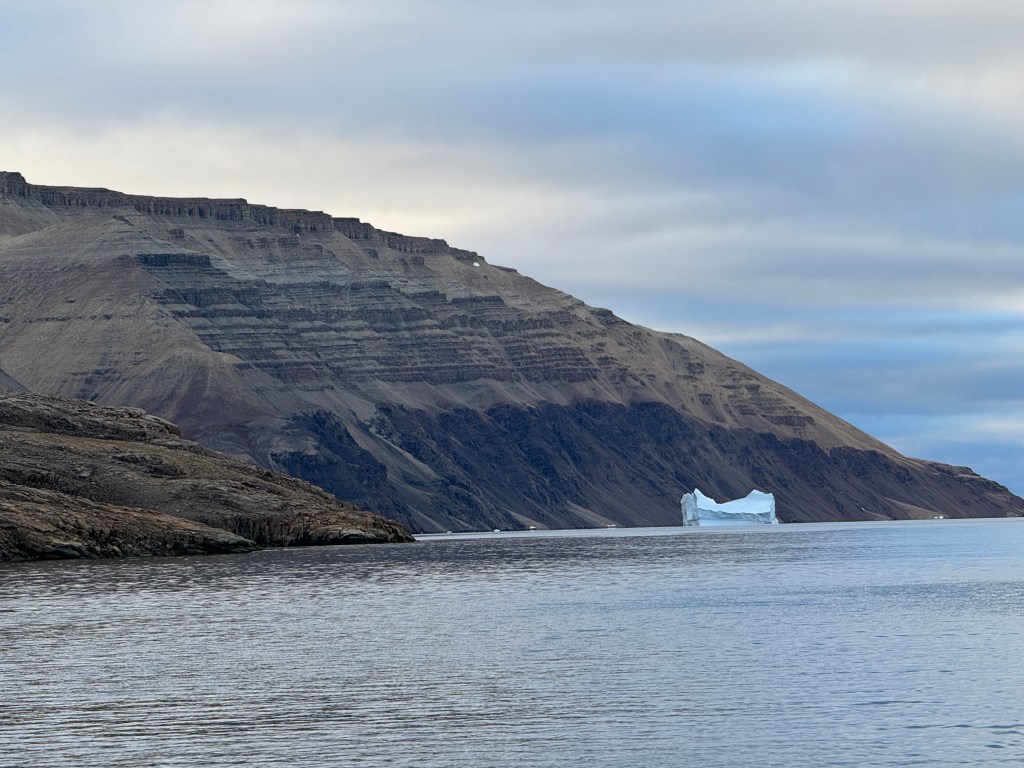
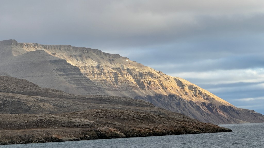
On our way out of Cummins Inlet we pass this glacier that appears quite healthy.
As we pass through Lancaster Sound once again, the wind picks up and we get quite a sail in. All good except that it is hard to see the growlers and bergy bits as we speed along. As the peak of summer is long past, it is now beginning to get dark at night.

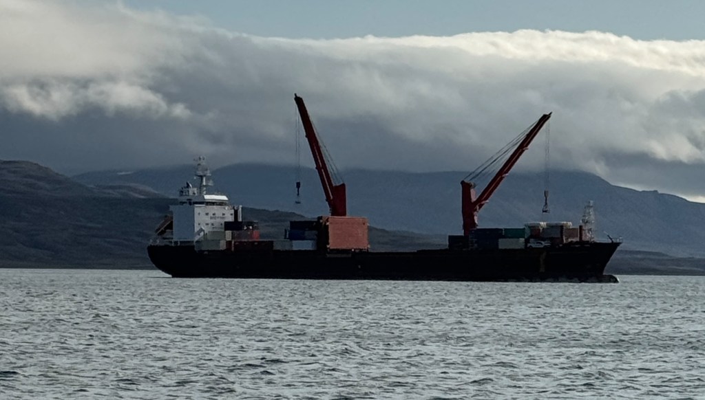
Above and below: These are most definitely serious ice bergs but it they are not local as there are no glaciers that are calving anything of this size. The bergs above and below are from Greenland, and they are quite small! Looking forward to seeing bigger ones as we get to Greenland.
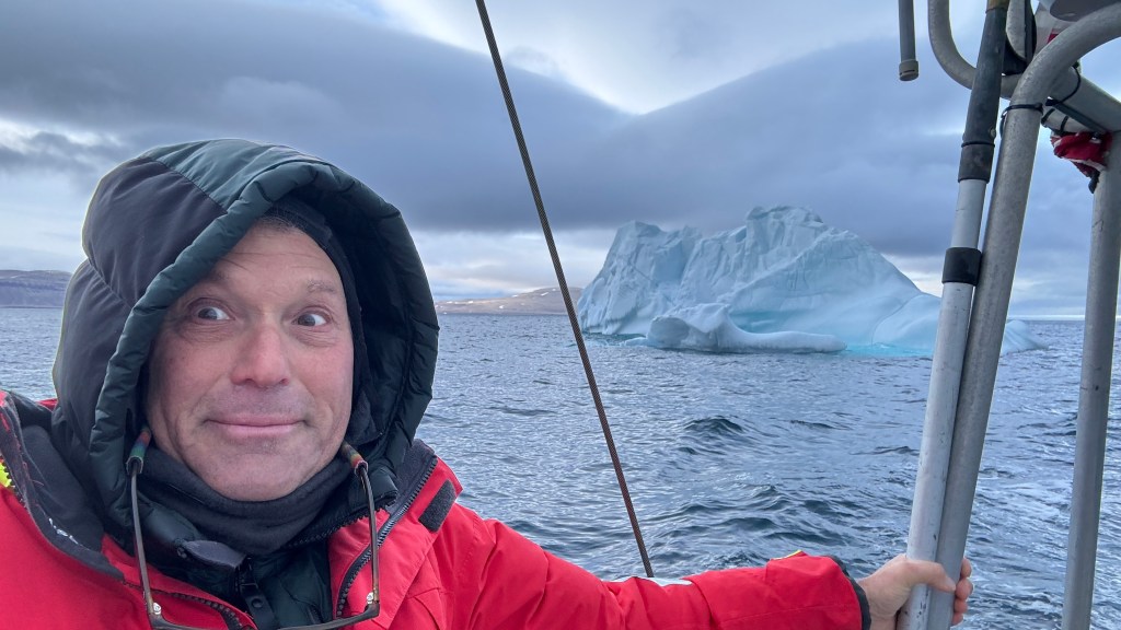
It is always such a thrill to sail alongside these majestic ice sculptures. As we approach, we can feel the air pressure change. Almost like standing next to a river or a creek. I think there must be a lot of negative ions that exude positive feelings.
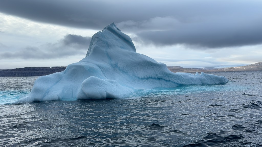
Above: I call this one Lion King – if you can imagine you are looking at a crouching lion with the tail at the far left, the back of the head at the top and the right paw sticking straight out at the far right.
ARCTIC BAY
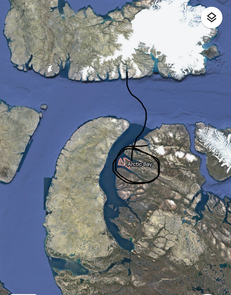
We sail south from Cummins Inlet, back across Lancaster Sound and into Admiralty Inlet. We now enter Baffin Island as we head for the town of Arctic Bay
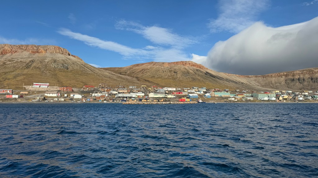
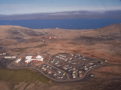
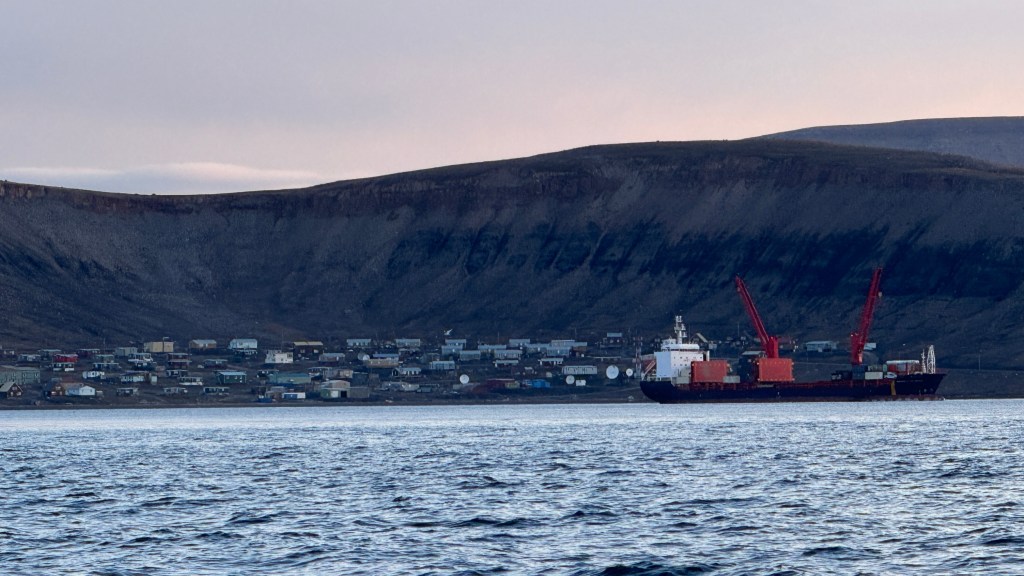
The town is situated around a lovely bay that is quite accessible but deep.
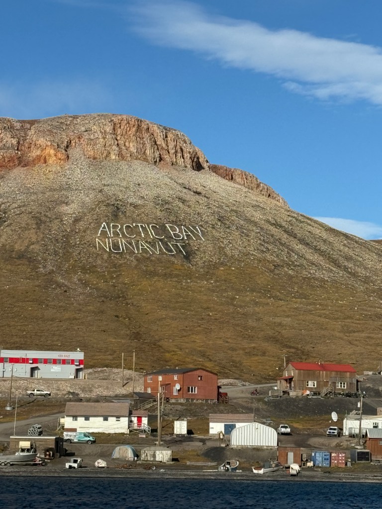
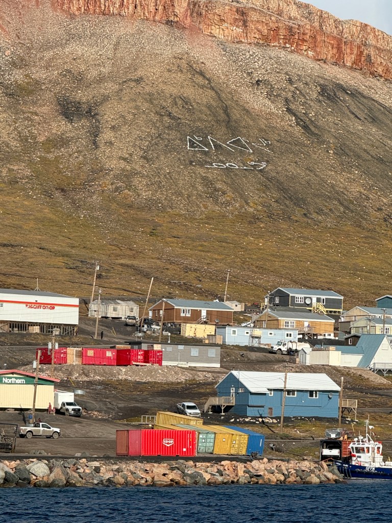
For identification purposes, the town name is written in English on the left and Inuit on the right. Arctic Bay is also known as Ikpiarjuk, or “the pocket,” because of the hills and cliffs that surround the community on three sides.
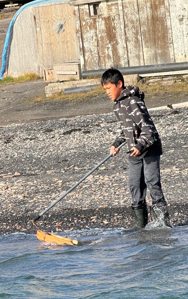
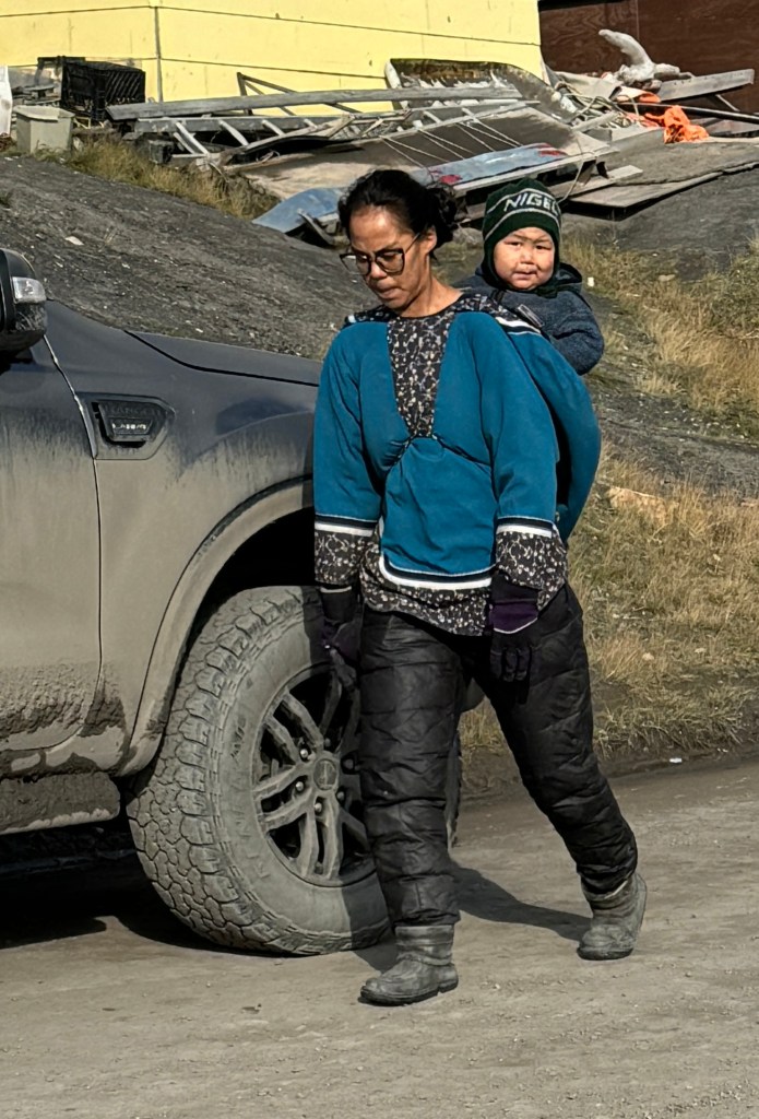
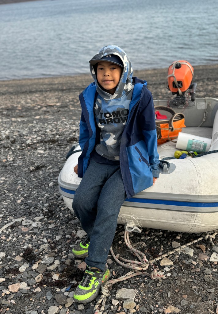
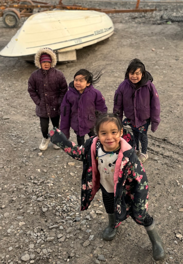
Kids will be kids as we see the boy playing with a toy boat on the left. On Baffin Island and especially in Arctic Bay, it was popular for women to carry their kids on their back. No strollers!
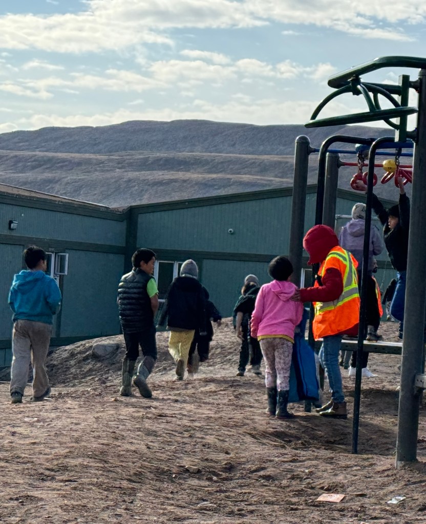
There is somewhat of a population boom in town. The grade school (above left) is packed with kids and cannot find enough teachers. The primary problem is that they do not have enough housing for staff, and even the natives live in two bedroom houses with 12 to 14 family members.
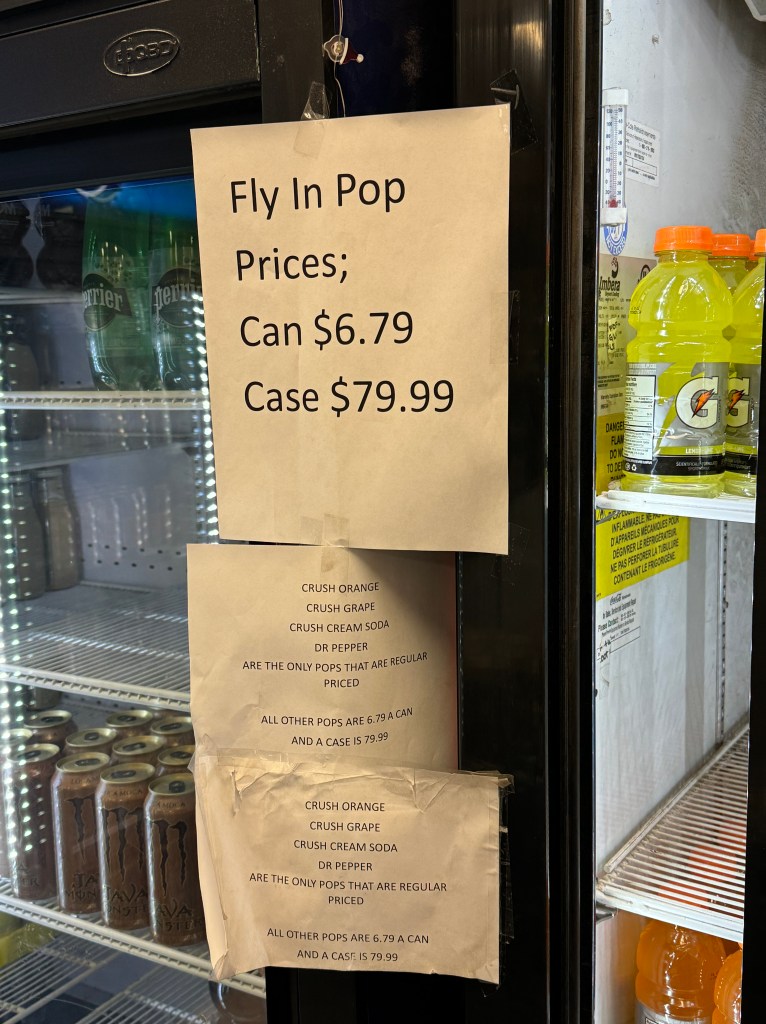

Above: It did not take long to figure out that the most valuable commodity it town is “pop” as the local call it or soft drinks (as we call them) like Coke, Fanta or Sprite (kind of like cigarettes in prison!) As it is too expensive to fly them on a regular basis (see the “fly-in” price above that is not even available) There are only a couple of supply barges every year, so there was no pop for sale and the street price was $106 for three cans. People were going crazy and the “haves” would walk around sipping casually on their pop flouting their wealth like we might wear designer shoes or have the latest designer handbag.
On the one hand I thought that we should have brought in pop from the last town we were at – perhaps it could have paid for our trip! But as fate would have it, the one day we were in town, one of the two supply barges pulled up and we could watch first hand how the town came to life as the ship was resupplying all sorts of goods and commodities, and yes, pop – so the price would have collapsed if we tried to corner the market!
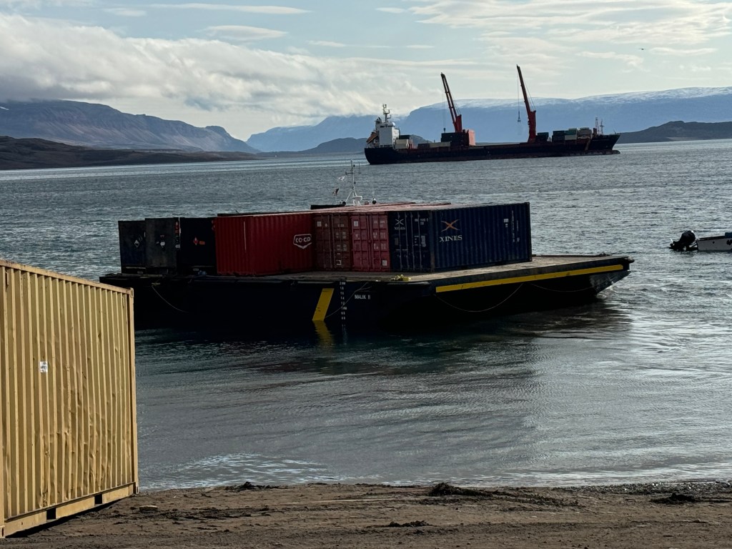
The freighter anchors in the deep water off the beach and carries with it the mini barge and all workers and equipment to unload all of the goods it has brought, including non-perishable groceries, cars, boats, medical equipment and anything one cares to order well in advance.
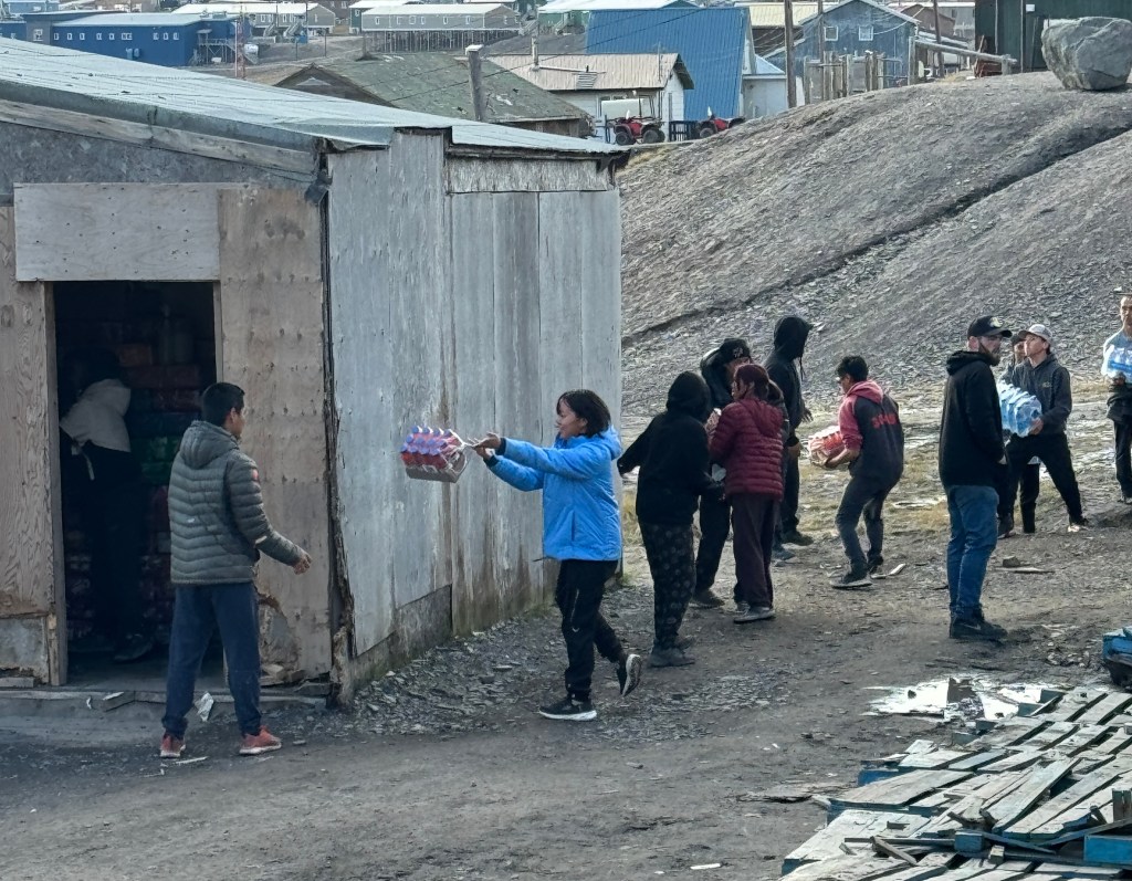
The whole town comes to a complete standstill and everyone lends a hand. Above is a classic “conga line” as the local teenagers help unload the non-perishable goods into the local Co-Op’s warehouse.
Here is a video of how they unload the bigger products like fishing boats etc.
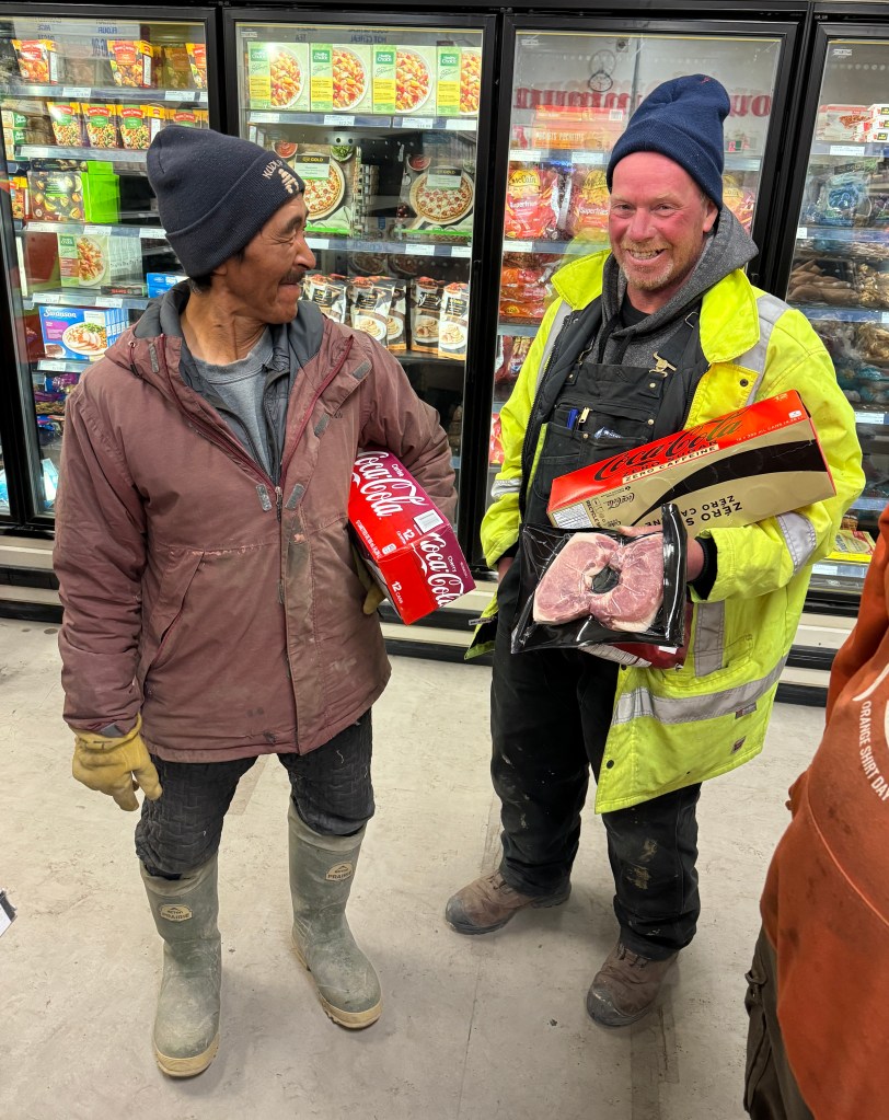
Above: Order has been restored and pop is now available so everyone rushes to the store to buy their 12 packs for $80 a case (Canadian). But do not worry as avocados were only $2.00 each so it was a guacamole forward evening for us (no pop!)
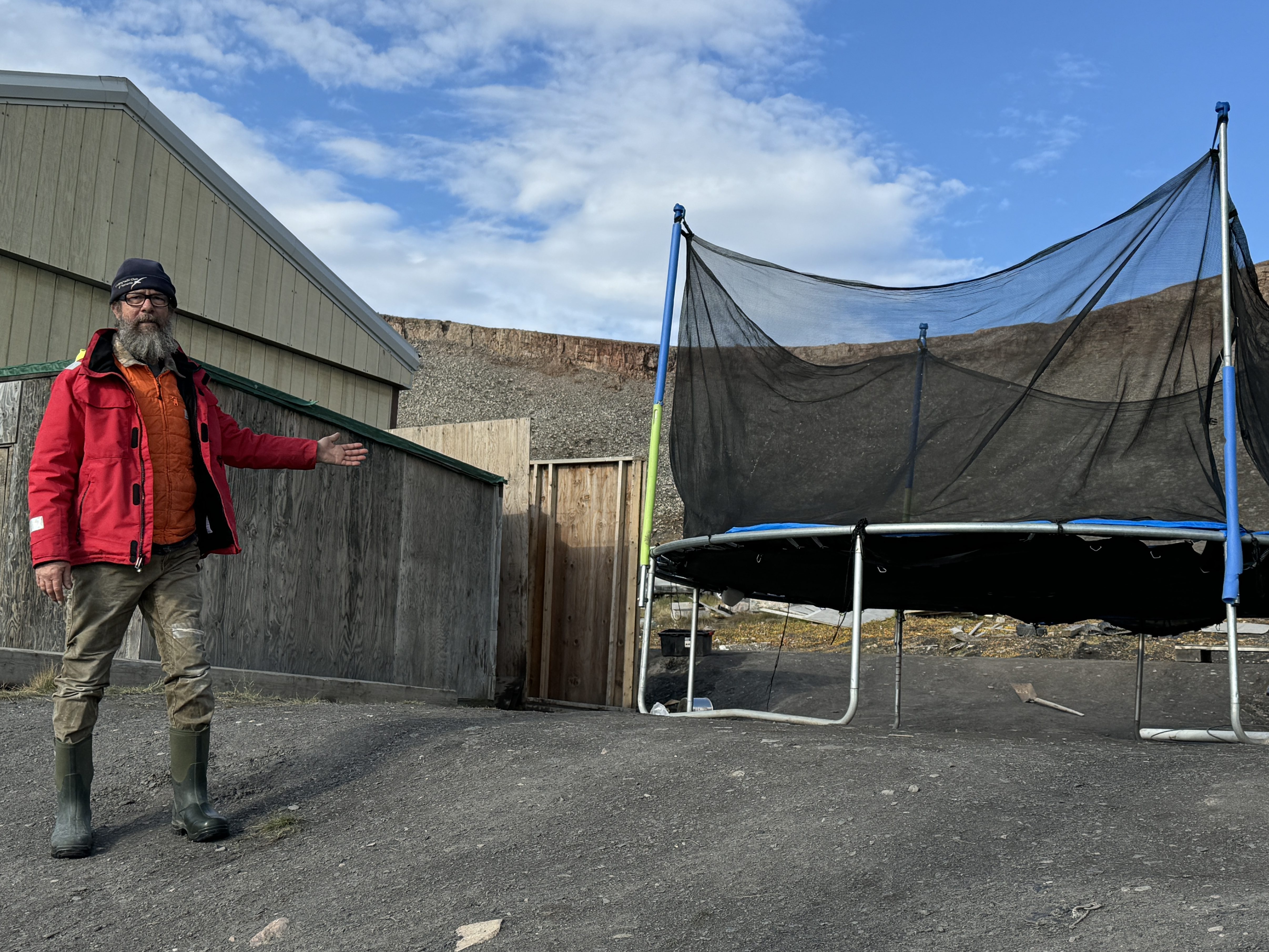
Randall took particular interest in the trampoline above. All through the arctic it seems that almost every other house has a trampoline out front. We were quite perplexed by this until we found out that blanket tossing (a form of trampoline) is an age old custom.
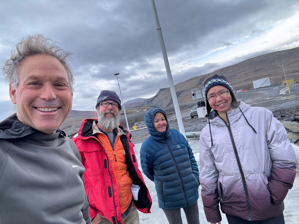
Above: As we were only in town for the rest of the afternoon, we wanted to take a tour so we hired the only local “taxi” which was really just Tersesa and her friend who decided to come along for the ride. They were going to take is across the sound to visit an old abandoned mine and what we thought was an abandoned fuel facility.
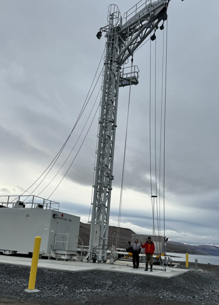
About an hour outside of town, it turns out the fuel facility is not quite abandoned. They named it Nanisivik Naval Facility, to reinforce Canadian presence in the Arctic (I am not sure why they could not use the port and fueling facility in town). Just another arctic military infrastructure question. The original plans have been downgraded after geotechnical problems increased the cost; it will now operate for four months a year as a refueling station, primarily for the Harry DeWolf-class Arctic patrol ships. Construction began in August 2014 and the facility is planned to be fully operational by summer 2020. We were all alone there!
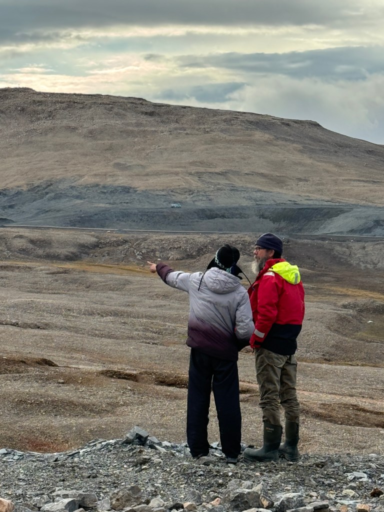
Above: Theresa tells Randall stories of the now abandoned and closed Nanisivik Mine. It was a zinc–lead mine and it was Canada’s first mine in the Arctic. The mine first opened on October 1976 and permanently closed in September 2002 due to low metal prices and declining resources. It was one of the most northerly mines in the world. I have to say they did a decent job in its decommissioning.
This is a picture of the mine in its heyday. All structures are now destroyed or buried.
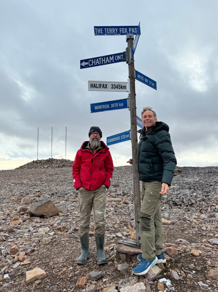
Above: Near the abandoned mine is an enormous abandoned airport they could land 747’s there. While the airport is not super interesting, we liked this old sign right outside that showed us important distance markers.
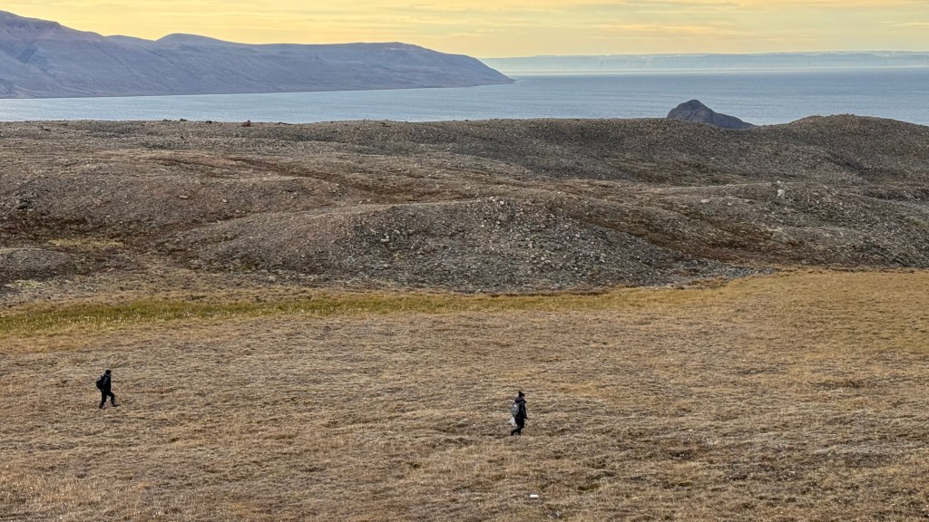
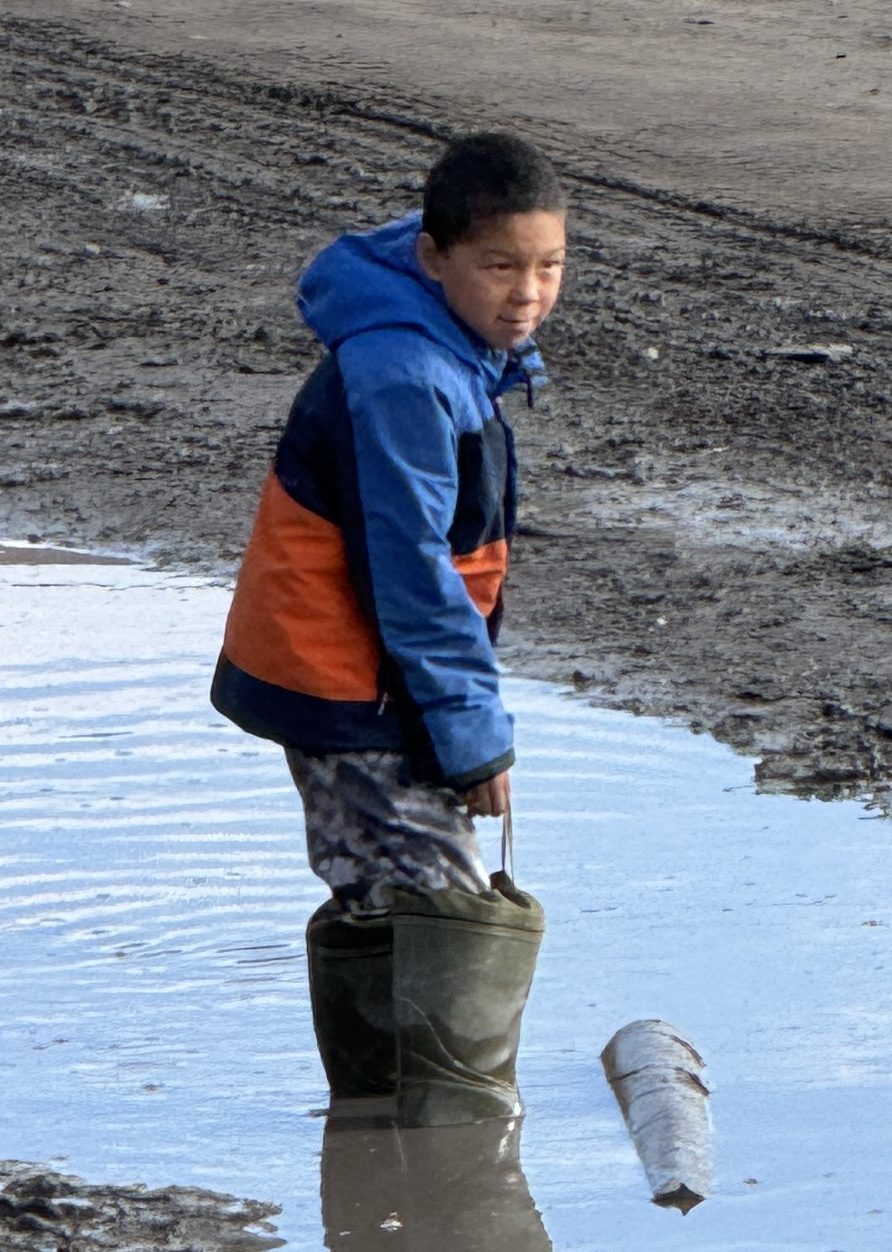
On our way back to town, we spot lots of people out picking “blue berries”, even though is 35 degrees out.
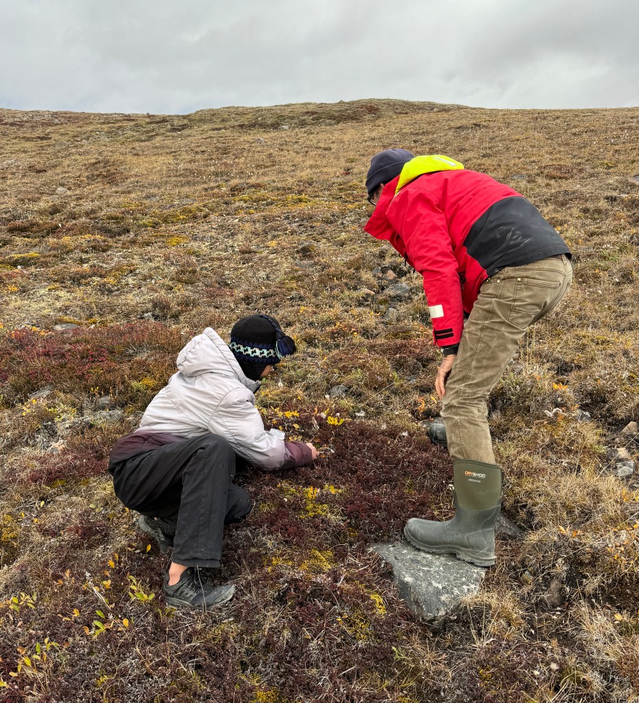
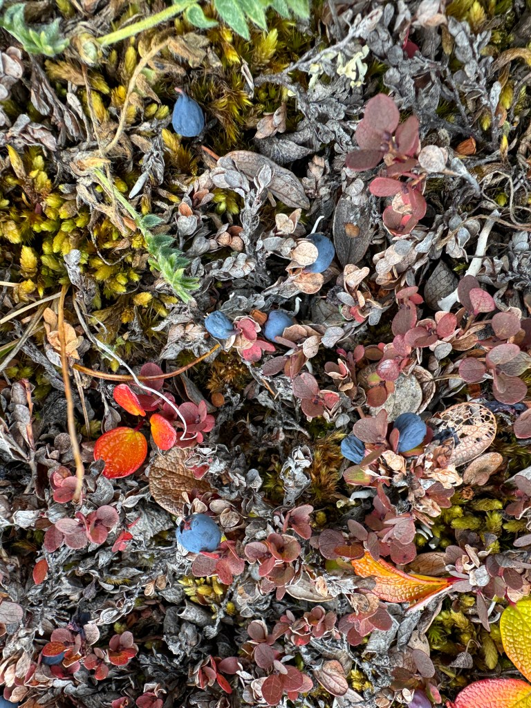
Randal and I ask to go picking as well and we find many, although they are small. It is interesting to note that back in Tuk when I was on the Pingo, people called them “blackberries”, but here they are blueberries.
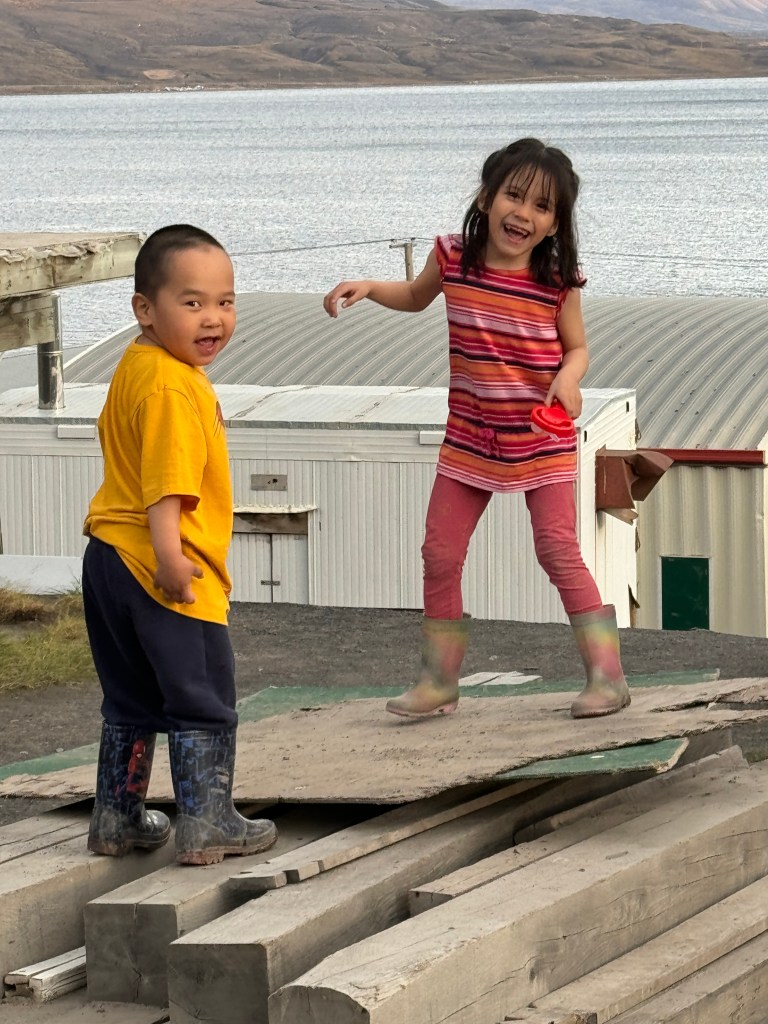
Back in town, it is now getting late, and the kids are out playing. On the left a brother and sister are jumping around lumber (look out for nails!), and on the right, Nathan helps us to locate (unsuccessfully) a pump nozzle that some other mischievous kids removed from our dinghy while we were gone.

While the kids were busy at school all day, they get to roam about at late at night and Randall and I were the only action around!
At 0630 the next morning we make our departure to Pond Inlet. See you there!

Leave a reply to Mollie Hart Cancel reply